Wānaka's best things to do are walks with mountain views: Roys Peak (16 km, closed for lambing 1 October to 10 November), the Rob Roy Glacier Track, Rocky Mountain and Mount Iron. That Wānaka Tree is by the lakefront, the Blue Pools are 1 hour 10 minutes up the Haast highway, and Cardrona and Treble Cone are for winter.
Wānaka sits on the shore of Lake Wānaka, New Zealand’s fourth-largest lake at about 192 km². The best things to do here are walks with big views: Roys Peak for a hard day, the Rob Roy Glacier Track for ice and waterfalls, Rocky Mountain and Mount Iron for shorter climbs. Add That Wānaka Tree at sunset, a drive to the Blue Pools, and in winter the ski fields at Cardrona and Treble Cone.
DOC’s Tititea/Mount Aspiring National Park Visitor Centre is in town, for Mount Aspiring National Park, and Wānaka is the start of the Haast Pass road to the West Coast.
Wānaka walks at a glance
| Walk |
Distance |
Time |
Notes |
| Roys Peak Track |
16 km return |
5 to 6 h |
Over 1,200 m climb; closed 1 Oct to 10 Nov |
| Rob Roy Track |
10 km return |
3 to 4 h |
54 km from town, last 30 km gravel with fords |
| Rocky Mountain Track |
7 km loop |
3 h |
775 m summit; steep and slippery in places |
| Mount Iron Track |
4.5 km loop |
1 h 30 min |
2 km from town; dogs on a leash allowed |
| Isthmus Peak Track |
16 km return |
5 to 7 h |
Advanced; closed 20 Nov to 20 Dec |
| Blue Pools Track |
3.2 km return |
1 h 30 min |
1 h 10 min drive up SH6 |
Checked November 2026. Source: DOC track pages.
Roys Peak
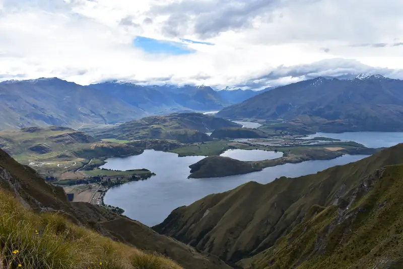
This is the walk Wānaka is known for. DOC calls it “a challenging full-day hike” and one of New Zealand’s most popular day hikes, for the view down over Lake Wānaka. It’s 16 km return with over 1,200 m of climbing to a 1,578 m summit, starting from a free car park about 6 km west of town on Wanaka-Mount Aspiring Road.
The car park fills fast, so start early. The track crosses private farmland and closes every year for lambing from 1 October to 10 November. In winter the upper track carries snow and ice, and above 1,000 m it is avalanche terrain. Full details are in our Roys Peak guide.
Rob Roy Glacier Track
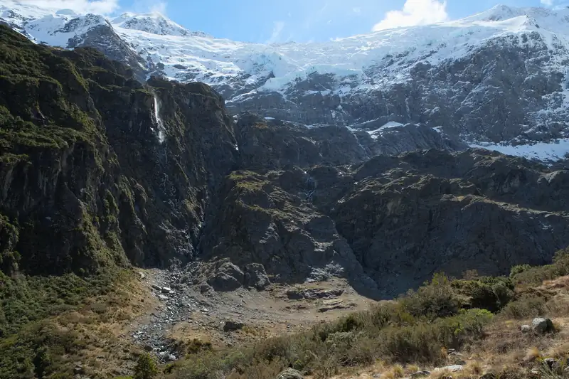
For a glacier at the head of a valley, drive 54 km west to the Raspberry Creek car park, about 1 hour 20 minutes. The last 30 km is gravel, with fords that can be impassable after heavy rain. The track is 10 km return, 3 to 4 hours, through beech forest to the glacier lookouts.
From May to November, avalanche season, DOC strongly recommends not going past the lower lookout. A guided version with lunch and transport runs from Wānaka. See our Rob Roy Glacier Track guide.
Rocky Mountain and Diamond Lake
A shorter climb with a view to rival Roys Peak, for half the effort. From the Diamond Lake car park, 18.5 km west of Wānaka, the track climbs past Diamond Lake to a 775 m summit looking over Lake Wānaka, the Southern Alps and Mount Aspiring/Tititea. DOC gives 7 km and 3 hours for the loop. Sections are steep and often slippery, even in summer, with light scrambling on the western side and drop-offs on the eastern side.
Mount Iron
The easy option. Mount Iron is a glacier-carved knoll that rises nearly 250 m above the surrounding land, 2 km from town on the main road in. The 4.5 km loop takes about 1 hour 30 minutes and ends with a 360-degree view over the lake, the Pisa Range and the Southern Alps. It’s one of the few Wānaka walks where dogs are allowed, on a leash.
Isthmus Peak
DOC’s suggested alternative to Roys Peak is Isthmus Peak, between Lake Wānaka and Lake Hāwea. It is a steep advanced track, 16 km return and 5 to 7 hours, with views over both lakes. The track crosses private land and closes for fawning every year from 20 November to 20 December, and safari hunting takes place on the station from March to May, so stay visible.
That Wānaka Tree
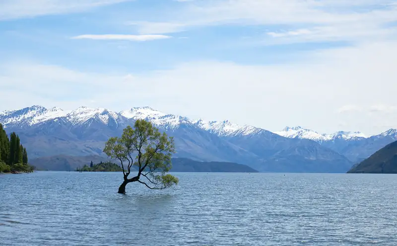
That Wānaka Tree is a willow standing in the water near the lakefront. Lake Wānaka Tourism says it began more than 70 years ago as a fence post. Its fame came from a misty June photo by Dennis Radermacher, which won the 2014 New Zealand Geographic photograph of the year. Start from the Wānaka Watersports car park; it’s only a few minutes’ walk. Go early or at sunset, when the light is low.
Blue Pools, Wānaka’s day trip
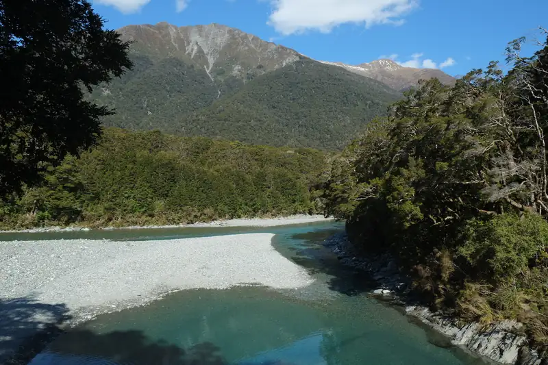
The Blue Pools are on State Highway 6, 10 km past Makarora, about 1 hour 10 minutes from Wānaka. The 3.2 km return walk takes about 1 hour 30 minutes through silver beech forest, crossing a swing bridge over the Makarora River to a second bridge above the pools.
DOC says they look blue and crystal-clear when it hasn’t rained recently, and brown and muddy after heavy rain. Parking is free but busy from November to April. Don’t jump off the bridges, don’t wash in the pools, and bring insect repellent for the sandflies. Our Haast Pass guide lists the other stops on the road, including the lookout at the pass.
Scenic flights and Mount Aspiring
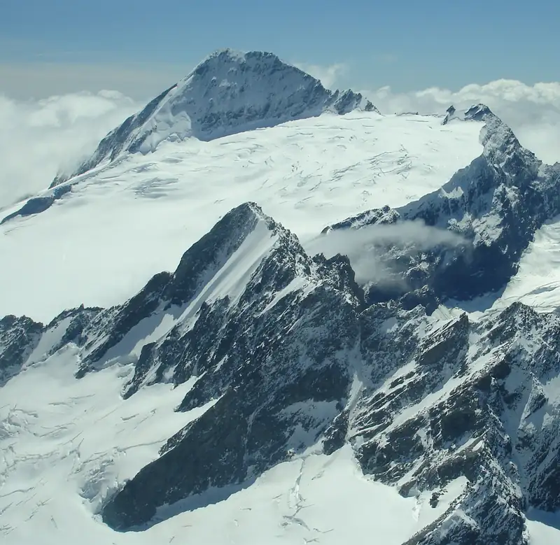
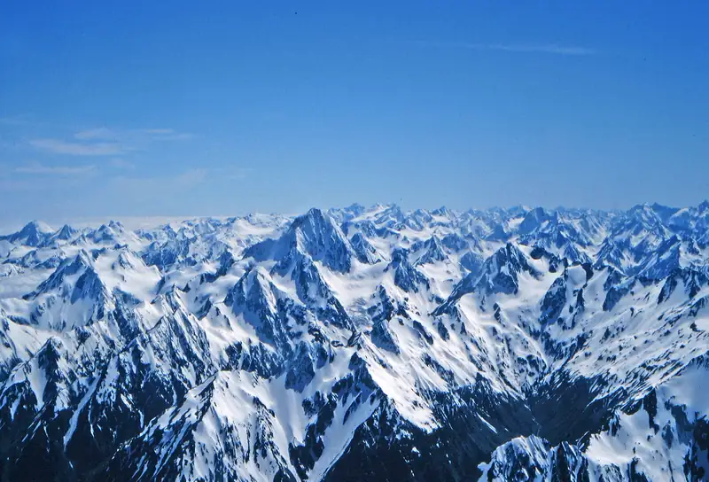
The quickest way into the mountains is by air. A 35-minute helicopter flight from a hangar 25 minutes out of town lands on the Isobel or Tyndall glacier, and an hour-long loop circles Mount Aspiring (3,033 m), the highest peak outside the Aoraki/Mount Cook area. From Makarora, a flight-hike-jetboat trip drops you in the Siberia Valley to walk out on your own. Read more in Mount Aspiring National Park.
Skiing near Wānaka
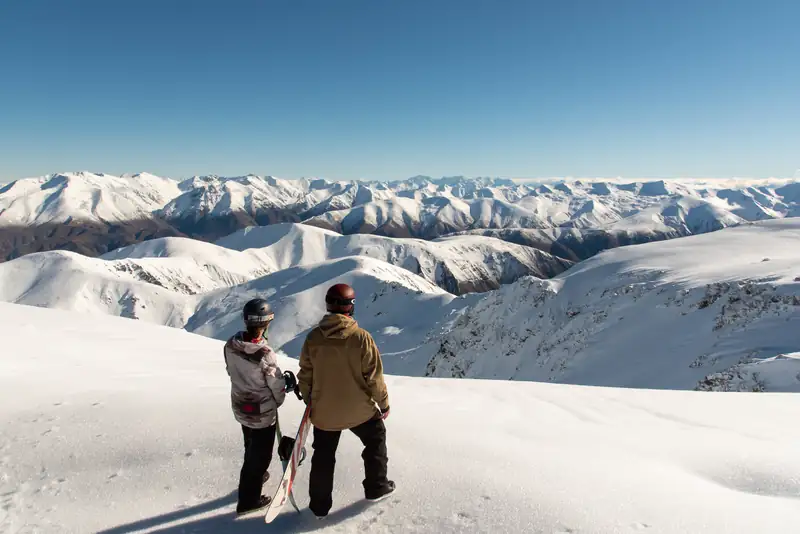
Two ski fields are within an hour. Treble Cone is 30 km away, 35 to 40 minutes, with a 7.5 km unsealed access road. Cardrona is 35 km away, 40 to 45 minutes, with a 14 km unsealed road. Both published tentative 2027 dates: Cardrona 12 June to 10 October, Treble Cone 26 June to 26 September. See New Zealand ski resorts.
Getting to Wānaka
Wānaka is about 1 hour 10 minutes by road from Queenstown Airport and about 2 hours 40 minutes from Aoraki/Mount Cook Village over Lindis Pass. The Haast Pass road runs 140 km north to Haast and the West Coast. For a route that links it all, see our South Island itinerary.