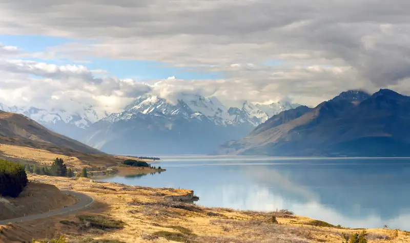
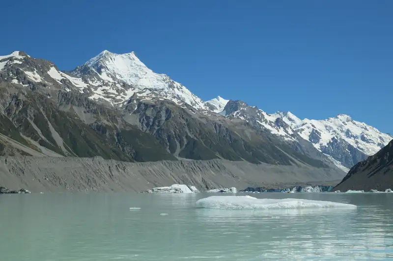
Arthur's Pass is a 920 m road and rail pass over the Southern Alps, with a small village inside Arthur's Pass National Park, about 2 hours' drive from Christchurch on State Highway 73. The best short walk is the 1-hour Devils Punchbowl Falls track; the big day hike is Avalanche Peak. Castle Hill / Kura Tāwhiti is on the way.
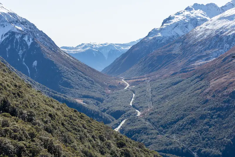
Arthur’s Pass is the 920 m pass where State Highway 73 and the Midland railway line cross the Southern Alps between Christchurch and the West Coast. It is also the name of the small village just below the pass, and of the national park around both. DOC puts the village about 2 hours’ drive from Christchurch and 1 h 30 min from Greymouth.
Come for a day and you can walk to a big waterfall, watch kea in the car park and stop at Castle Hill on the way home. Come for a weekend and you can climb Avalanche Peak.
Arthur’s Pass National Park
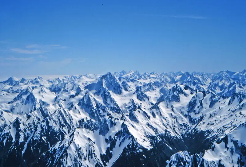
The park was gazetted on 1 August 1929. It was New Zealand’s third national park and the first in the South Island, and it covers about 114,356 ha. Unlike the Aoraki/Mount Cook, Westland and Mount Aspiring parks, it is not part of the Te Wāhipounamu World Heritage Area.
The pass sits on the Main Divide, and the two sides look different. DOC notes mountain beech on the drier eastern slopes and mixed rainforest with red-flowering rātā to the west. Above the bushline there is snow tussock, which you can see on a short walk at the summit of the pass. Great spotted kiwi (roroa), the largest kiwi, live in the park; you might hear them calling at dusk.
The pass is named after Arthur Dudley Dobson, who crossed it in 1864 (some sources say 1863), reportedly using directions from the West Coast chief Tarapuhi.
Hikes and walks at Arthur’s Pass
| Walk |
Distance and time |
Grade |
Start |
| Devils Punchbowl Walking Track |
2 km, 1 h return |
Easy to intermediate; 400+ steps |
Car park at the north end of the village, off SH73 |
| Avalanche Peak (Avalanche Peak or Scotts route) |
2.5 km and 1,100 m up; 3 to 4 h to the summit |
Experienced trampers only |
Behind the visitor centre, or Scotts Track about 700 m west |
| Kura Tāwhiti Access Track (Castle Hill) |
1.7 km, 40 min |
Easy |
Castle Hill / Kura Tāwhiti car park, SH73, 50 min east of the village |
Checked November 2026 against DOC track pages. No booking is needed for Devils Punchbowl or Kura Tāwhiti, and parking at both is free.
DOC says most tracks in the park involve river crossings, and the weather can change fast at any time of year. It also warns that thieves have broken into cars at track ends. Don’t leave valuables in the car.
Devils Punchbowl Falls
This is the walk to do if you only have an hour. The track leaves the car park at the northern end of the village, crosses the Bealey River and Devils Punchbowl Creek on bridges, then climbs steeply through mountain beech forest to a viewing platform near the bottom of a 131 m waterfall. When the falls are running hard, the spray soaks the platform. DOC says they are at their best in spring, when snow melts off the mountains.
The Ngāi Tahu name is Te Tautea o Hinekakai. To Ngāi Tahu, the white water looks like threads of dressed flax, and the falls are named for Hinekakai, an ancestor famous as a weaver. They have drawn visitors since the coach road over the pass opened in 1866.
Two cautions from DOC. Wardens Creek, which you cross before the Bealey bridge, can flood the track during and after heavy rain; if it is fast or muddy, don’t cross. And the steps get icy in winter.
Avalanche Peak
Avalanche Peak (1,833 m) is the only peak in the park with a marked route to the summit. The climb is 1,100 vertical metres over 2.5 km, and DOC gives 3 to 4 hours to the top. On a clear day you look across to Mount Rolleston and the Crow Glacier.
There are two ways up, both starting in the village about 700 m apart. The Avalanche Peak Track starts behind the visitor centre and is the steeper; DOC suggests it for the way up on a round trip, with Scotts Track for the descent. If you plan to go up and down the same way, DOC recommends Scotts, which is less steep. Above the bushline both become routes marked by poles: yellow on Avalanche Peak, orange on Scotts.
Take this seriously. DOC says people have died on this “extremely steep and rocky” route. Don’t start in poor visibility or high wind, stay on the marked route (a hidden canyon blocks the way between the two ridges), and check the avalanche advisory at the visitor centre first. Avalanches in the park usually happen from May to November, and in winter you need an ice axe, crampons and the experience to use them.
Castle Hill / Kura Tāwhiti
On the drive from Christchurch, about 1 h 30 min from the city and 50 min short of Arthur’s Pass, a field of huge limestone boulders stands on the hillside beside SH73. This is Kura Tāwhiti, a place of special significance to Ngāi Tahu and Ngāi Tūāhuriri, with Tōpuni status. At the car park, carved pou whenua represent three ancestors: Tūrākautahi and Tāne Tiki, sons of Tūāhuriri, and Tāwhitinui, whose body became this landscape.
DOC’s access track is 1.7 km and about 40 minutes. The site gets very busy from November to April and is popular with rock climbers. If the car park is full, don’t park on the highway: DOC suggests visiting Cave Stream, 5 minutes away, and coming back. Stay on the gravel path, because critically endangered plants grow here, and don’t eat or drink anywhere except the car park and shelter.
Kea and the Ōtira Viaduct
Kea, the alpine parrot, are a big part of a visit here. DOC names Arthur’s Pass village and the Ōtira Viaduct Lookout, known as Death’s Corner, as places where kea gather. DOC warns that their play can damage cars. Never feed them: human food can kill them.
The viaduct carries SH73 below the pass on the West Coast side.
Getting there
- By car: SH73 from Christchurch, about 2 hours. The road is winding in places, and snow can close it. Check NZTA’s road conditions before you go. Limited food and fuel are available in the village; Springfield has more.
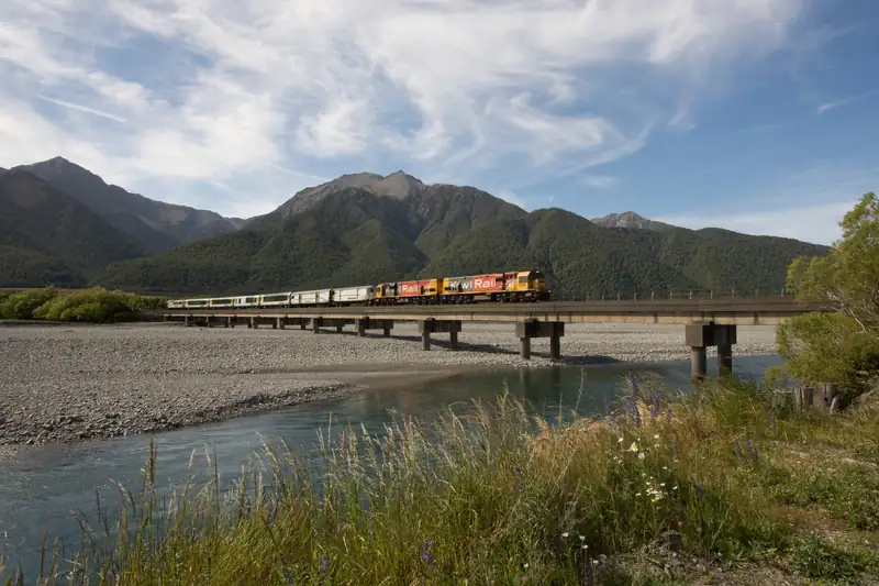
- By train: the TranzAlpine runs daily between Christchurch and Greymouth with a stop at Arthur’s Pass. Until about 30 November 2026 it runs to Arthur’s Pass only, with a bus to Greymouth, after a derailment. Check KiwiRail before booking (checked November 2026). A guided day tour from Christchurch rides the train up and brings you back by road via Devils Punchbowl, the Otira Viaduct lookout and Castle Hill.
- By bus: DOC says regular buses run between Christchurch and Greymouth or Hokitika via Arthur’s Pass.
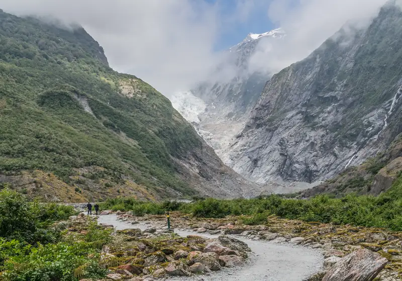
Arthur’s Pass is also the usual road from Christchurch to the West Coast glaciers: a routing engine puts Christchurch Airport to Franz Josef via the pass at about 372 km. The South Island itinerary shows how it fits into a loop.
Where to stay
The village has a small DOC campsite, Avalanche Creek Shelter, opposite the visitor centre, and a few motels and lodges. DOC’s campsite page lists adult fees of NZ$15 a night, set in July 2024, so check the current rate when you book.