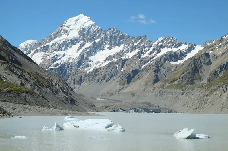
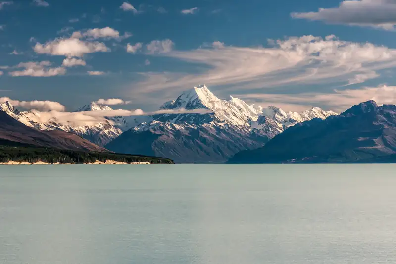
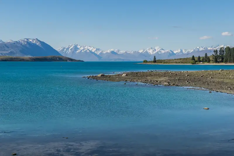
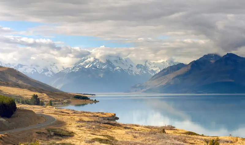
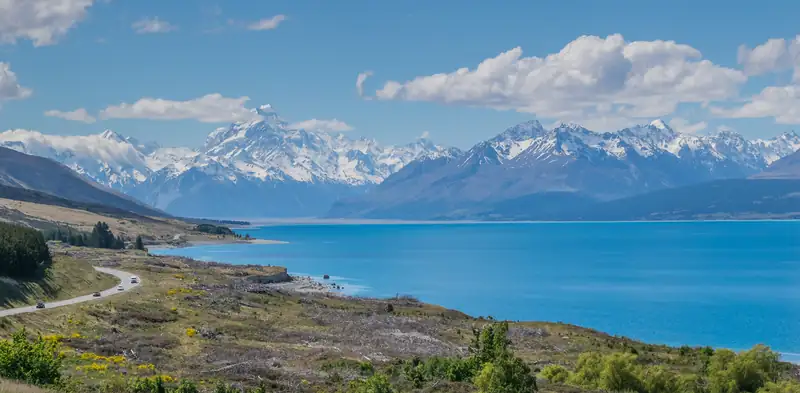
Turquoise Lake Pukaki stretching towards snow-covered Aoraki/Mount Cook and the main range of the Southern Alps under a blue sky with white clouds

Southern Alps, New Zealand: a visitor guide to the New Zealand Alps

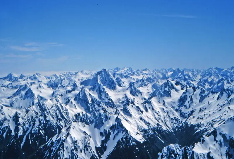
The Southern Alps (officially Southern Alps / Kā Tiritiri o te Moana), sometimes called the New Zealand Alps, run about 500 km down the South Island of New Zealand, from Nelson Lakes National Park to near Milford Sound. Its highest peak is Aoraki/Mount Cook, 3,724 m, in Aoraki/Mount Cook National Park.

Southern Alps quick facts

  • 3,724 m

    Aoraki/Mount Cook

    The height a University of Otago-led GPS survey confirmed in November 2013. A 19th-century survey gave 3,764 m.

  • 500 km

    Approximate length

    From Nelson Lakes National Park in the north-east to near Milford Sound in the south-west.

  • 19

    Peaks over 3,000 m in one park

    DOC’s count for Aoraki/Mount Cook National Park. About two dozen summits top 3,000 m across the range.

  • 1990

    World Heritage listing

    UNESCO inscribed Te Wāhipounamu, 2.6 million ha that take in three of the range’s national parks and Fiordland.

Official name
Southern Alps / Kā Tiritiri o te Moana, a dual name set after the Ngāi Tahu Claims Settlement Act 1998
Where
Down the South Island of New Zealand, with the highest ground near the western side
Highest point
Aoraki/Mount Cook, 3,724 m, at about 43.595° S, 170.142° E
Roads across
SH7 over Lewis Pass, SH73 over Arthur’s Pass (920 m) and SH6 over Haast Pass, the lowest
Nearest airports
Christchurch and Queenstown
Entry
National parks are free to enter. Many visitors pay the NZ$100 visitor levy with their visa or NZeTA (Immigration NZ, checked November 2026)

The range’s story: two names, an ancestor and a fault line

The official name is Southern Alps / Kā Tiritiri o te Moana. A LINZ place-names map says the Māori name recalls Māui mistaking the white-tipped peaks for a mirage of the ocean. The English name is usually credited to James Cook in 1770. “New Zealand Alps” has never been official. It is an old descriptive name, as in G. E. Mannering’s 1891 climbing bookWith Axe and Rope in the New Zealand Alps.

To Ngāi Tahu, Aoraki is the most sacred of ancestors. In their tradition, Aoraki and his brothers turned to stone on their upturned waka and became the main peaks of the range. “Cloud Piercer” is a popular translation of the name, not the meaning Ngāi Tahu give it. Under the Ngāi Tahu Claims Settlement Act 1998, the Crown returned Aoraki to Te Rūnanga o Ngāi Tahu, which gifted it back to the nation, and the mountain was renamed Aoraki / Mount Cook.

The rock itself is still rising. The range sits on the boundary of the Pacific and Australian plates, and the Alpine Fault runs for hundreds of kilometres along its western edge. Uplift near Aoraki reaches about a centimetre a year, roughly as fast as erosion wears the peaks down, and it comes in jumps of several metres during big earthquakes. GNS Science puts the fault’s rhythm at a quake of about magnitude 8 every 300 years or so; the last big one was in 1717.
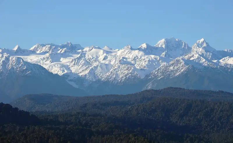
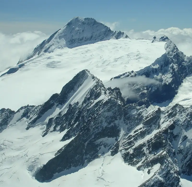
The Southern Alps from Douglas Peak to Aoraki/Mount Cook in morning light, seen over West Coast forest
The main range from the West Coast, Douglas Peak to Aoraki/Mount Cook.
  1. 25 December 1894Tom Fyfe, Jack Clarke and George Graham make the first ascent of Aoraki, by the Hooker Valley and the North Ridge.
  2. 3 December 1910Freda du Faur becomes the first woman to reach the summit.
  3. 1946 to 1948Edmund Hillary learns his snow and ice skills here, climbing with guide Harry Ayres. In early 1948 they and two others make the first ascent of the South Ridge.
  4. 22 September 1955Harry Wigley makes the first ski-plane landing on the Tasman Glacier.
  5. 2013After a 1991 rock avalanche and years of ice loss, a GPS survey puts the summit at 3,724 m.

National parks in the Southern Alps

Four national parks hold most of what visitors come to see. The Department of Conservation (DOC) manages them all, and entry is free.

  • Aoraki/Mount Cook National Park

    Declared 1953 · about 70,700 ha

    The highest peaks, with 19 over 3,000 m. Glaciers cover about 40 percent of the park, including Haupapa / Tasman Glacier, New Zealand’s longest.

  • Westland Tai Poutini National Park

    Founded 1960 · 127,165 ha

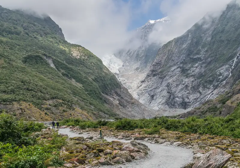
    The West Coast side, running from the highest peaks down to the beaches. Franz Josef and Fox glaciers and Lake Matheson are here. No dogs.

  • Arthur’s Pass National Park

    Gazetted 1929 · about 114,356 ha

    New Zealand’s third national park, on SH73 and the TranzAlpine line. It is the one park here outside the World Heritage Area. No dogs.

  • Mount Aspiring National Park

    Founded 1964 · 356,181 ha

    New Zealand’s tenth national park, west of Wānaka. Mount Aspiring / Tititea, 3,033 m, is the highest peak outside the Aoraki/Mount Cook area.

Aoraki/Mount Cook, Westland Tai Poutini and Mount Aspiring belong to Te Wāhipounamu, the South West New Zealand World Heritage Area that UNESCO inscribed in 1990, together with Fiordland. A charge for international visitors at Aoraki/Mount Cook is planned, but no amount or start date is official. Recreational drones are not allowed anywhere in Aoraki/Mount Cook National Park.

What you see in the Southern Alps

Six areas hold most of what visitors come for. Each links to its own guides.

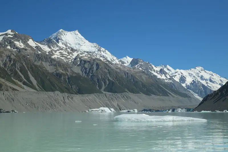
Icebergs on Tasman Lake below grey moraine walls, with Aoraki/Mount Cook in the background

Tasman Glacier and the Blue Lakes

DOC calls Haupapa / Tasman Glacier New Zealand’s longest; it is now a little over 20 km long. Tasman Lake at its foot started forming in the 1970s. The viewpoint track is about 15 minutes each way, up 300-plus steps past the Blue Lakes.

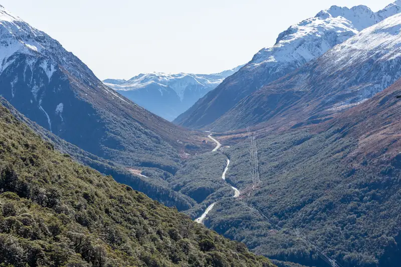
Looking down the forested valley at Arthur’s Pass from high on the Avalanche Peak track

Arthur’s Pass

SH73 and the TranzAlpine train cross the range here at 920 m. From the village, the Devils Punchbowl track reaches a 131 m waterfall in about an hour return, and Avalanche Peak (1,833 m) is a climb of about 1,100 m.

Watch for kea, which DOC calls the world’s only alpine parrot and lists as Nationally Endangered. Never feed one: human food can kill them. From October to January look for the Mount Cook lily, which is in fact a giant buttercup.

How to visit the Southern Alps

Bases
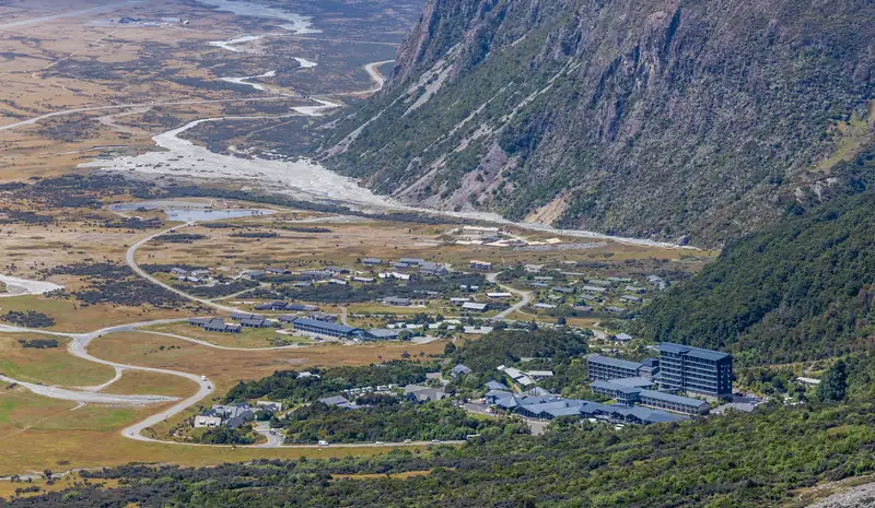
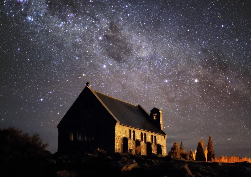
Aoraki/Mount Cook Village suits early starts on the tracks. Twizel, 45 minutes away, has a Four Square shop and fuel. Lake Tekapo, about 1 h 15 min from the village, suits stargazers. On the West Coast stay in Franz Josef or Fox Glacier; further north, in Arthur’s Pass village; in the south, in Wānaka.
Driving
Christchurch to Lake Tekapo takes about 3 hours, Christchurch to Aoraki/Mount Cook Village 4 to 4.5 hours, and Queenstown to the village 3 h 10 min to 3.5 hours (Mackenzie tourism and DOC figures). Drive on the left. No road crosses the range between Aoraki/Mount Cook and the West Coast glaciers, so that trip goes round by Haast Pass.
Bus and train
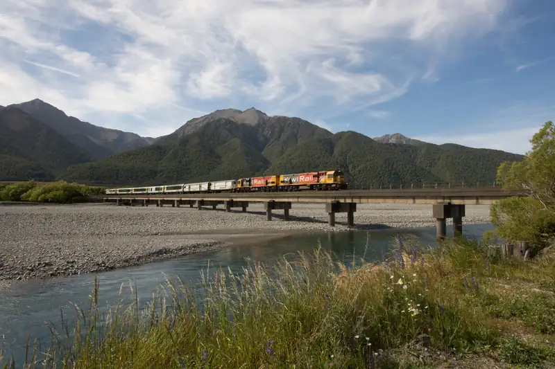
InterCity runs daily from Christchurch to Lake Tekapo in about 3 h 25 min, with a connection to the Hermitage in Aoraki/Mount Cook Village. The TranzAlpine train runs from Christchurch over Arthur’s Pass to Greymouth; until about 30 November 2026 it stops at Arthur’s Pass and a bus covers the last leg.
Parking and supplies
The White Horse Hill car park for the Hooker Valley, Kea Point, Sealy Tarns and Mueller Hut costs NZ$2.50 per half hour or NZ$25 a day, card only, with the first 20 minutes free (DOC, checked November 2026). It fills on busy days, so arrive early. The village has no supermarket and only a card-only fuel pump; the nearest shop is in Twizel, 66 km away.

Tours that go into the Southern Alps

One well-reviewed GetYourGuide tour for each part of the range: a Mount Cook day from Christchurch, a Tasman Glacier heli-hike, a scenic flight from Tekapo, stargazing, a Franz Josef heli-hike and the TranzAlpine to Arthur’s Pass. The tours page lists all 28 that go into the Alps.

Goes into the Southern Alps

Mount Cook & Lake Tekapo Day Tour from Christchurch

4.8 (658 reviews)13 hoursPickup included

The most-reviewed Mount Cook day from Christchurch: a coach via Geraldine and the Church of the Good Shepherd at Tekapo to a Lake Pukaki stop and a walk to the Tasman Glacier and its iceberg lake, with lunch included.

Goes into the Southern Alps

Mount Cook: 3-Hour Tasman Glacier Helicopter Ride and Hike

4.9 (347 reviews)3 hours

Fly from Mount Cook onto a remote part of the Tasman Glacier, New Zealand's longest, and spend up to two hours on the ice with a guide before the helicopter brings you back.

Goes into the Southern Alps

Lake Tekapo: 50-Minute Mount Cook and Beyond Scenic Flight

4.9 (139 reviews)1 hour

A fixed-wing loop from Tekapo airport with a window seat each, over the turquoise lakes to Aoraki and the Tasman Glacier, then across the Main Divide to the Fox and Franz Josef glaciers.

Goes into the Southern Alps

Lake Tekapo: Stargazing Experience

4.9 (788 reviews)1.5 hours

The top-rated Tekapo night tour: an astronomy guide, a 9.25-inch telescope, blankets, hot chocolate and marshmallows by a fire bowl, and photos of you under the stars to take home.

Goes into the Southern Alps

Franz Josef: 2.5 Hour Glacier Hike with Helicopter Transfer

4.7 (408 reviews)4-8 hours

The classic Franz Josef heli-hike: a helicopter lands you on the glacier for up to two and a half hours of guided walking among blue ice, crevasses and ice formations, with boots, crampons and waterproofs supplied.

Goes into the Southern Alps

Arthur's Pass: TranzAlpine Train and Castle Hill Day Tour

4.8 (341 reviews)10 hoursPickup included

Ride the TranzAlpine from Christchurch up to Arthur's Pass, then come back by road with the guide via the Devils Punchbowl waterfall, the Otira Viaduct lookout, Lake Pearson and the Castle Hill boulders.

Prices and ratings were taken from GetYourGuide and can change. Booking through these links supports this site at no extra cost to you.

See all Southern Alps tours

Where to stay in the Southern Alps

Stay in Aoraki/Mount Cook Village for the tracks, in Twizel for shops and fuel, at Lake Tekapo for the night sky, and in Franz Josef or Fox Glacier for the West Coast glaciers. Three places to start with:

  • The Hermitage Hotel, in Aoraki/Mount Cook Village itself, about five minutes’ drive from the Hooker Valley trailhead. InterCity buses stop at its lobby, which suits travellers without a car.
  • Peppers Bluewater Resort, at Lake Tekapo, with hotel rooms, suites and villas. Good for families and for stargazing, about 1 h 15 min from the village.
  • Rainforest Retreat, in Franz Josef township, with tree houses, motel units, cabins and campervan sites, from budget to family stays.

Southern Alps guides

The peaks, parks, lakes, glaciers, passes and tracks of the range.

Icebergs floating in Hooker Lake with Aoraki/Mount Cook at the head of the valley

Hooker Valley Track

The Hooker Valley Track is a 10 km return walk, about 3 hours, from White Horse Hill car park near Aoraki/Mount Cook Village to Hooker Lake at the foot of Aoraki.

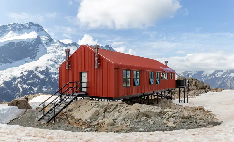
Mueller Hut on the Sealy Range with snow-covered peaks behind

Mueller Hut

Mueller Hut is a 28-bunk DOC alpine hut on the Sealy Range above Aoraki/Mount Cook Village.

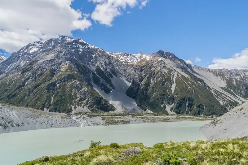
Mueller Lake and the Sealy Range seen from the Kea Point viewing deck

Kea Point Track

Kea Point Track is a short walk in Aoraki/Mount Cook National Park to a viewing deck on the Mueller Glacier moraine wall, facing Mount Sefton, Mueller Lake and Aoraki/Mount Cook.

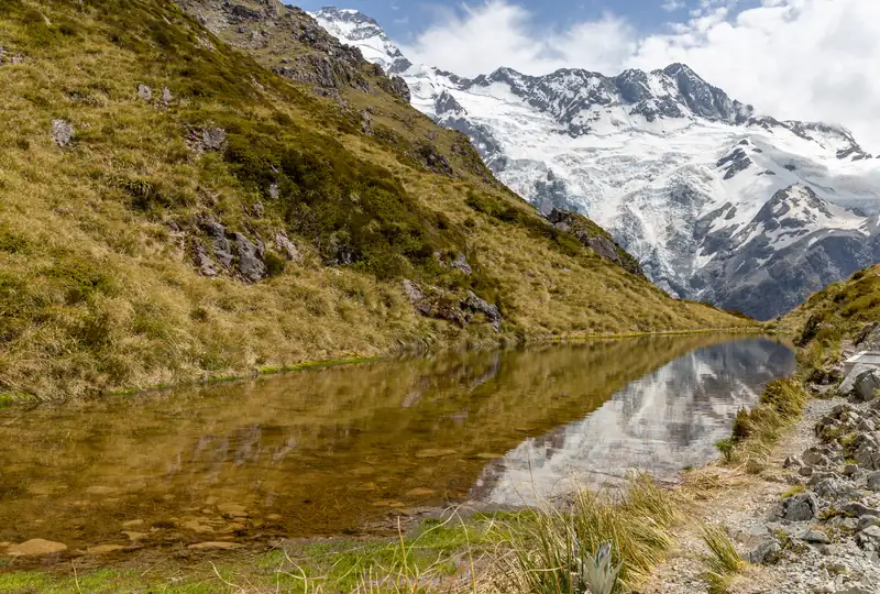
One of the Sealy Tarns with Mount Sefton reflected in the water

Sealy Tarns Track

The Sealy Tarns Track climbs about 2,200 steps and 600 m from the Kea Point Track to a set of small alpine lakes above the Hooker Valley in Aoraki/Mount Cook National Park.

Icebergs on Tasman Lake below the moraine walls, with Aoraki/Mount Cook in the background

Tasman Glacier and Tasman Lake

Haupapa/Tasman Glacier, which DOC calls New Zealand's longest glacier, is about 22 to 23.5 km long, in Aoraki/Mount Cook National Park.

Lake Ōhau looking north from Lake Ōhau Alpine Village, with cloud on the peaks at the head of the lake

Lake Ōhau

Lake Ōhau is a glacial lake in the Mackenzie Basin, about 50 minutes' drive west of Twizel, below the Ben Ohau Range.

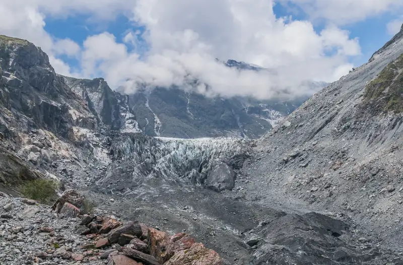
The terminal face of Fox Glacier between bare rock valley walls

Fox Glacier

Fox Glacier, or Te Moeka o Tuawe, is best seen on foot from DOC's South Side Walkway: 6.4 km return, about 2 hours, starting 2 km south of the village.

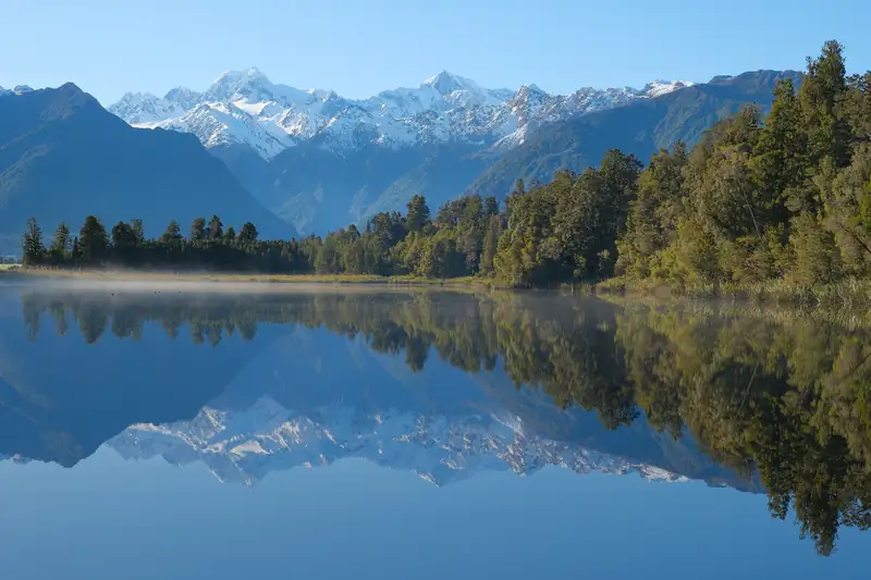
Mount Tasman and Aoraki/Mount Cook reflected in the still water of Lake Matheson in the morning

Lake Matheson

Lake Matheson, 5 minutes' drive from Fox Glacier village, is the lake known for mirror reflections of Aoraki/Mount Cook and Mount Tasman.

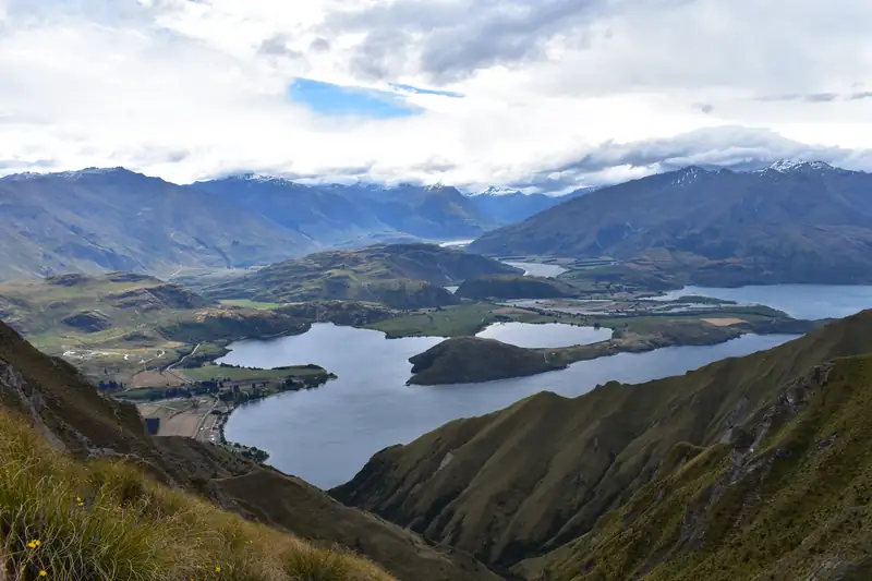
Lake Wānaka and its arms seen from the Roys Peak Track

Roys Peak Track

Roys Peak Track is a 16 km return hike from a car park 6 km west of Wānaka to the 1,578 m summit of Roys Peak, with over 1,200 m of climbing.

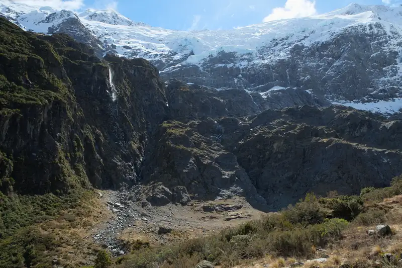
Rob Roy Glacier across the head of the Rob Roy Valley in spring

Rob Roy Glacier Track

The Rob Roy Glacier Track is a 10 km return walk in Mount Aspiring National Park, 3 to 4 hours, from Raspberry Flat car park 54 km west of Wānaka to lookouts below the Rob Roy Glacier.

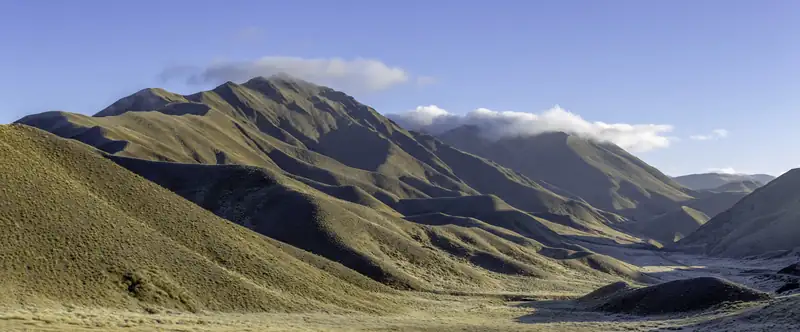
Tussock-covered hills in the Lindis Pass

Lindis Pass

Lindis Pass is the high point of State Highway 8 between the Mackenzie Country and Central Otago, at 971 m according to NZHistory (NZTA gives 965 m).

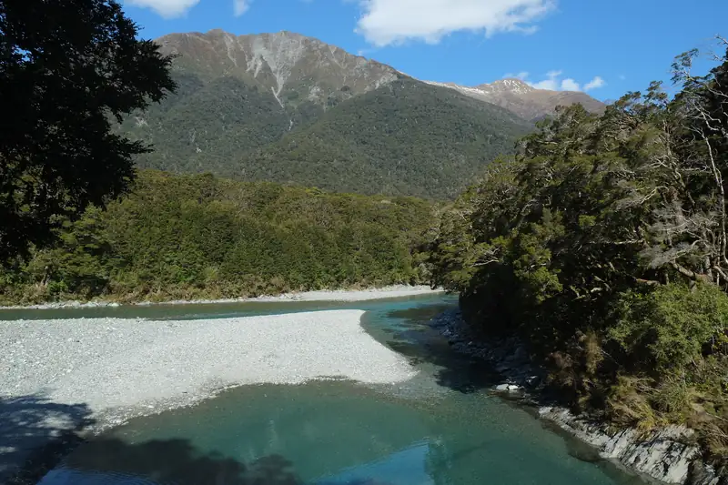
Blue Pools at the meeting of the Blue and Makarora rivers, surrounded by beech forest on the Haast Pass highway

Haast Pass

Haast Pass (Tioripatea) is the lowest road crossing of the Southern Alps, 563 m above sea level on State Highway 6.

Plan your trip

Where to stay, getting there, parking, the train and scenic flights.

Icebergs in Hooker Lake with Aoraki/Mount Cook at the head of the valley

Things to do in Mount Cook

The best things to do in Mount Cook are the Hooker Valley Track to Hooker Lake, the short climb to the Tasman Glacier view and the Blue Lakes, Kea Point, and a scenic flight with a glacier landing.

South Island trip planning

Routes, itineraries, seasons, Wānaka and skiing across the South Island.

View from Peters Lookout up Lake Pukaki to the Southern Alps, with the Mount Cook road below

Christchurch to Queenstown drive

The Christchurch to Queenstown drive is about 486 km on the inland route through Lake Tekapo, Twizel and Lindis Pass, and RealNZ puts the driving time at about 7 hours 15 minutes.

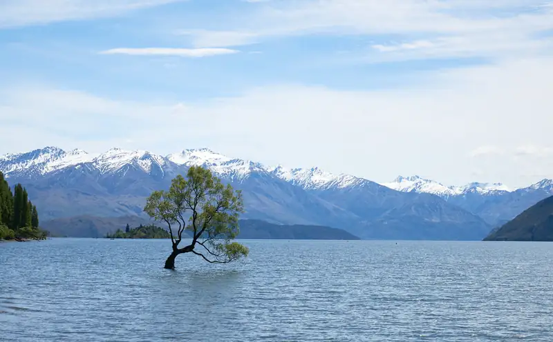
That Wānaka Tree, a willow standing in Lake Wānaka, with snow-capped mountains behind

Things to do in Wānaka

Wānaka's best things to do are walks with mountain views: Roys Peak (16 km, closed for lambing 1 October to 10 November), the Rob Roy Glacier Track, Rocky Mountain and Mount Iron.

Southern Alps questions

Where are the Southern Alps?

The Southern Alps run down the South Island of New Zealand, from Nelson Lakes National Park in the north-east to near the entrance of Milford Sound in the south-west. The highest ground lies near the western side, and the highest stretch is between Arthur’s Pass and Haast Pass, around Aoraki/Mount Cook.

How long are the Southern Alps?

About 500 km. Te Ara measures the range from Nelson Lakes National Park to near Milford Sound. Britannica describes a narrower core, from Haast Pass north-east to Arthur’s Pass, which holds the highest peaks.

What is the highest mountain in the Southern Alps?

Aoraki/Mount Cook, at 3,724 m, which also makes it the highest mountain in New Zealand. A University of Otago-led GPS survey confirmed that height in November 2013. It used to be given as 3,764 m, but a rock avalanche from the East Face in December 1991 and two decades of thinning summit ice brought it down.

Can you visit the Southern Alps?

Yes. The national parks in the range are free to enter, and state highways reach Aoraki/Mount Cook Village, Arthur’s Pass, Franz Josef and Fox Glacier. Many international visitors pay the NZ$100 International Visitor Conservation and Tourism Levy with their visa or NZeTA. The Government also plans a charge for international visitors at Aoraki/Mount Cook, but no amount or start date is official, so check DOC before you go.

When is the best time to visit the Southern Alps?

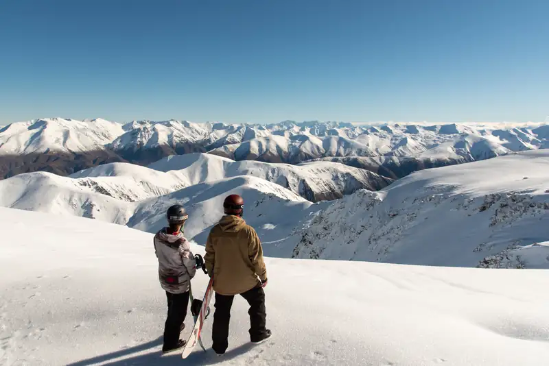
December to February is the easiest time for alpine walks: DOC says moderate tramping experience is enough for Mueller Hut then, and icebergs float on the Hooker and Tasman lakes. Mount Cook lilies flower from October, but avalanche danger on alpine routes lasts to mid-November. Winter, June to August, brings icy tracks and skiing; the ski season runs roughly mid-June to early October. Snow can fall in any month in the high country.

What is the legend of Aoraki?

Ngāi Tahu tell it as the story of an ancestor. Aoraki and his brothers came down from the heavens in a waka to visit Papatūānuku. On the way home Aoraki recited a karakia wrongly, and the waka fell into the sea and capsized. The brothers climbed onto the hull and turned to stone, becoming the main peaks of the Southern Alps, with Aoraki the highest. Ngāi Tahu call the South Island Te Waka o Aoraki.