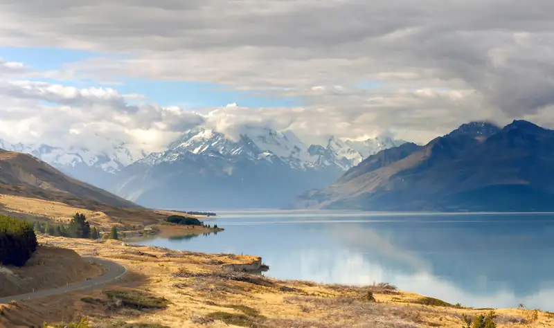
Lake Pukaki: the viewpoints, walks and campervan rules
Lake Pukaki is the largest lake in the Mackenzie Basin, a turquoise glacial lake with Aoraki/Mount Cook at its head.
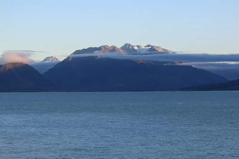
Lake Ōhau is a glacial lake in the Mackenzie Basin, about 50 minutes' drive west of Twizel, below the Ben Ohau Range. The Alps 2 Ocean Cycle Trail runs along its shore: the easy 38 km ride from Twizel ends at Lake Ōhau Lodge, and the next section climbs to the trail's 900 m high point.
Lake Ōhau is a glacial lake in the Mackenzie Basin, about 50 minutes’ drive west of Twizel, under the Ben Ohau Range. It sits in the same basin as Lake Pukaki and Lake Tekapo, and the Alps 2 Ocean Cycle Trail runs along its shore. The easy 38 km section from Twizel ends at Lake Ōhau Lodge. The next section climbs to the trail’s highest point, 900 m, on the way to Ōmarama.
LAWA, New Zealand’s environmental data site, describes the lake as fed by the Dobson and Hopkins rivers and draining to the Ōhau River. Its water is low in nutrients because it comes from glaciers.
The Alps 2 Ocean Cycle Trail (A2O) runs from Aoraki/Mount Cook to Ōamaru on the coast. Its official site calls it New Zealand’s longest continuous cycle trail. The eight main sections it lists add up to about 316 km. Two of them meet at Lake Ōhau.
Checked November 2026:
| Section | Distance | Grade | Highlights and hazards |
|---|---|---|---|
| 3: Twizel to Lake Ōhau Lodge | 38 km | 2 (easy) | Canal road, Ōhau Weir at 20 km, lake foreshore, Te Maiharoa pou, last 10 km on sealed Lake Ōhau Road |
| 4: Lake Ōhau Lodge to Ōmarama | 43 km | 3 (intermediate) | Freehold Creek at 600 m (6 km), trail high point 900 m (11 km), Quailburn woolshed (19 km), Clay Cliffs side trip |
Distances and grades are from the A2O section pages.
Section 3 leaves Twizel on Glen Lyon Road, crosses the canal bridge past Loch Cameron, and follows the canal road to the edge of Lake Ōhau at 18 km. A short off-road stretch drops to the lake and the Ōhau Weir. The trail then follows the foreshore to Lake Ōhau Road and rides the last 10 km past Lake Ōhau Village to the lodge.
Two warnings from the trail managers apply here. Do not cross the Ōhau Weir when water is flowing over it; a CLOSED sign on the way out of Twizel switches on when it is shut, and the advice then is a shuttle from Twizel to the lake. And the southern end of the lake is exposed to strong, gusty north-west winds, so walk the bike if you need to. Swimming in the canals is strictly prohibited.
Section 4 is harder. After 6 easy km to Freehold Creek it narrows and climbs steadily for about 4 km to 900 m, past several false summits. The descent from the top has tight, steep bends, and the trail notes suggest less experienced riders walk the first kilometre. A short part of the climb crosses an avalanche path, so move through it quickly in winter. Cell coverage is limited, and the A2O site suggests carrying a PLB (personal locator for emergencies), 2 litres of water and warm, waterproof clothing all year. On 12 November 2026 the trail’s alert page also asked riders to look out for magpies near Quailburn.
The A2O FAQ names December to May as the best time. March and April are cooler. Spring (September to November) can be good but brings rain and wind, and snow and frost are possible on the trail from June to August.
E-bikes up to 300 W are allowed. Riding the full trail from Aoraki/Mount Cook needs a helicopter across the Tasman River for a minimum of two people, which is why many riders start lower down.
By road, Lake Ōhau Lodge is about 37 km and roughly 50 minutes from Twizel, and about 40 km and 50 minutes from Ōmarama (our estimates from OpenStreetMap routing, which tends to run short on rural roads). There is no fee to visit the lake or use the trail.
Twizel is also a common base for Aoraki/Mount Cook, about 50 minutes up SH80; the Mount Cook accommodation guide covers Twizel and the village. If you are driving between Christchurch and Queenstown by way of Lake Pukaki and the Lindis Pass, Twizel and Ōmarama are on your route; see the Christchurch to Queenstown guide.
In the early hours of Sunday 4 October 2020 a wildfire ran through Lake Ōhau Village, which the trail passes on its way to the lodge. A week later 1News reported that 48 homes and other structures had been destroyed. RNZ reported at the time that about 200 people gathered at an evacuation centre in Twizel and that the fire covered about 1,600 hectares. A later Fire and Emergency report found the cause was a short circuit, as reported by the Otago Daily Times. The A2O’s Section 4 notes still warn that fire-damaged trees in the forest can be unstable in wind.
Lake Pukaki and the road to Aoraki/Mount Cook are both a short drive from Twizel. Further south on SH8, the Lindis Pass crosses the tussock hills to Central Otago.
Lake Ōhau is in the Mackenzie Basin of the South Island, west of Twizel and north of Ōmarama. LAWA describes it as a glacial lake fed by the Dobson and Hopkins rivers, draining to the Ōhau River. Lake Ōhau Lodge, on its western shore, is about 37 km by road from Twizel.
Section 3 of the Alps 2 Ocean Cycle Trail runs 38 km from Twizel to Lake Ōhau Lodge and is graded 2, easy. It follows canal roads to the lake, crosses the Ōhau Weir, runs along the foreshore, then joins sealed Lake Ōhau Road for the final 10 km past Lake Ōhau Village.
It is the step up on this part of the trail. Section 4 is 43 km, graded 3 (intermediate), with a sustained 4 km climb to the trail's high point at 900 m, false summits, a rough and steep descent, small fords and a short avalanche path crossing. The trail's own advice is to ride it in the cooler part of a summer day and carry 2 litres of water.
A wildfire swept through Lake Ōhau Village in the early hours of 4 October 2020. 1News reported a week later that 48 homes and other structures were destroyed, and RNZ reported about 200 people at an evacuation centre in Twizel. A later Fire and Emergency report put the cause down to a short circuit, according to the Otago Daily Times.
We found no ban on swimming in the lake itself, and the Alps 2 Ocean site lists Loch Cameron, near Twizel on the same section, as a swimming spot. The trail managers strictly prohibit swimming in the hydro canals the trail follows, because of strong currents and the risk of drowning. Lake Ōhau is fed by glacier rivers, so expect cold water.
Lake Pukaki is the largest lake in the Mackenzie Basin, a turquoise glacial lake with Aoraki/Mount Cook at its head.
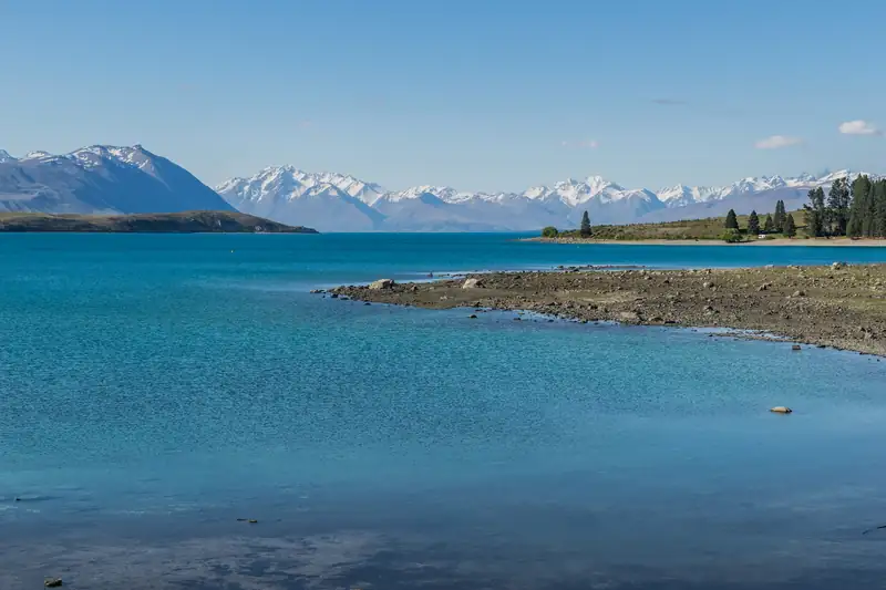
Lake Tekapo (Takapō) is a turquoise glacial lake and small village at 710 m in the Mackenzie Basin, about 3 hours' drive from Christchurch on State Highway 8.
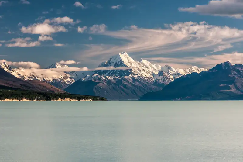
Aoraki / Mount Cook is New Zealand's highest mountain at 3,724 m, measured by a University of Otago team in 2013.
The Christchurch to Queenstown drive is about 486 km on the inland route through Lake Tekapo, Twizel and Lindis Pass, and RealNZ puts the driving time at about 7 hours 15 minutes.
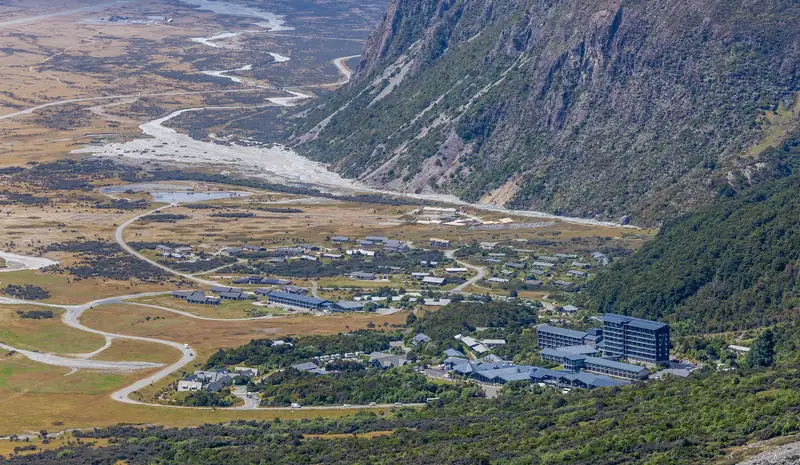
Stay in Aoraki/Mount Cook Village if you want to start the Hooker Valley Track early or arrive by bus.