Roys Peak Track is a 16 km return hike from a car park 6 km west of Wānaka to the 1,578 m summit of Roys Peak, with over 1,200 m of climbing. DOC allows 5 to 6 hours. It closes every year from 1 October to 10 November for lambing and reopens on 11 November. Parking is free.
Roys Peak Track is a 16 km return hike from a car park about 6 km west of Wānaka to the 1,578 m summit of Roys Peak, climbing over 1,200 m. DOC allows 5 to 6 hours and calls it a challenging full-day hike. The track is closed every year from 1 October to 10 November for lambing and reopens on 11 November, so in November 2026 it is open again. Parking at the start is free.
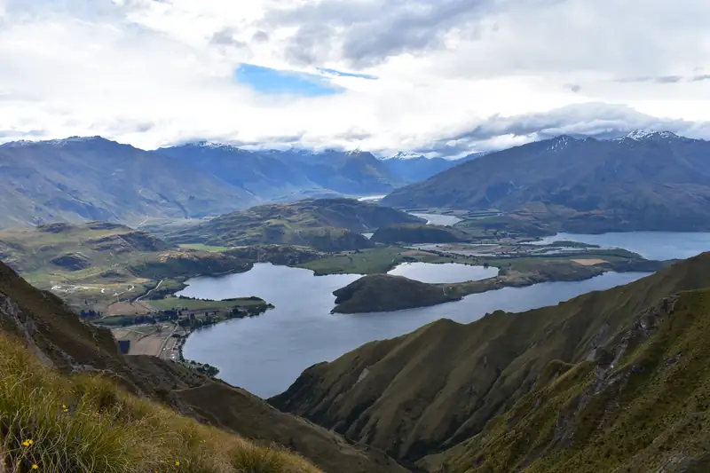
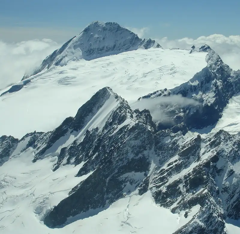
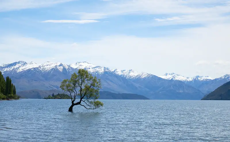
DOC also calls it one of New Zealand’s most popular day hikes, for the views over Lake Wānaka and the Southern Alps/Kā Tiritiri o te Moana. Popular means crowded, and the car park fills.
Roys Peak Track details
Checked November 2026:
|
Detail |
| Distance |
16 km return, same way back |
| Time |
5 to 6 hours return |
| Climb |
Over 1,200 m |
| Summit |
1,578 m |
| Photo viewpoint |
About 30 min below the summit |
| Toilets |
Two: at the car park and near the photo viewpoint |
| Water and shade |
None on the track |
| Closure |
1 October to 10 November each year (lambing) |
| Parking |
Free, but often full |
| DOC alert, 12 November 2026 |
None |
All figures are DOC’s. DOC’s page header labels the track “easy to intermediate”, but its own description says high fitness is needed, and that is the line to trust.
The route
The track starts at Roys Peak car park on Wānaka-Mount Aspiring Road. It zigzags steeply up the side of the mountain, first through farmland and then tussock. Most of it crosses private land, so stay on the marked track, give livestock space and leave gates as you find them.
DOC’s “famous Roys Peak photo viewpoints” are about 30 minutes before the summit. There is a toilet near them. From the top you come back the same way. Experienced trampers can carry on along the Skyline Track instead.
Mountain bikes, campfires and drones without a permit are not allowed.
The lambing closure
DOC closes the track from 1 October to 10 November every year for lambing on the farmland it crosses. It reopens on 11 November. If you are in Wānaka during the closure, DOC suggests Isthmus Peak Track, which it describes as similar in length and difficulty, less busy and with equally good views.
Parking and getting there
From Wānaka, drive west along Wānaka-Mount Aspiring Road for about 6 km. The large car park is on your left. DOC says parking is free for cars and campervans, and it was still free when checked in November 2026. DOC said it would name more paid car parks from mid-November 2026, so that could change.
The car park gets very busy and may be full. DOC asks you not to park on the edge of the road. Two ways round it:
- Walk or cycle out. Waterfall Creek Track and Glendhu Bay Track, plus a section of road, link Wānaka to the start. These tracks are not run by DOC.
- Take a shuttle. Transport operators run to the track; the Wānaka i-SITE can list them.
Guided hikes of the track are also available, according to DOC.
Seasons and safety
DOC’s advice by season:
- Summer: very hot, with no shade or water. Carry plenty of water and sun protection, and avoid the hottest part of the day.
- Autumn: variable. Hot days, but also cold and snow.
- Winter: snow and ice make the track much harder. You may need micro-spikes and walking poles. DOC says there is challenging avalanche terrain above 1,000 m; check the New Zealand Avalanche Advisory or the Tititea/Mt Aspiring National Park Visitor Centre in Wānaka.
- Spring: winter conditions can last, and the track is closed from 1 October to 10 November.
The upper track is alpine. Rain, snow and cold are possible in any month, so bring warm layers and a windproof, waterproof jacket. If you start in the dark, DOC says a head torch with spare batteries is essential, not your phone.
Nearby
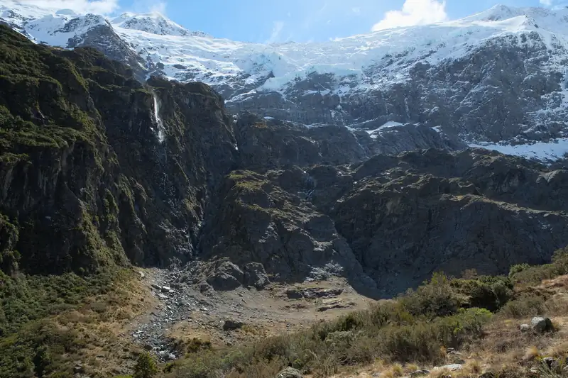
DOC lists Roys Peak under the Wānaka area rather than the national park, but the Mount Aspiring National Park guide covers the park itself, and the Rob Roy Glacier Track is a day walk inside the park, 54 km from Wānaka. For where to stay and what else to do in town, see things to do in Wānaka. Heading to the West Coast next? See the Haast Pass guide.