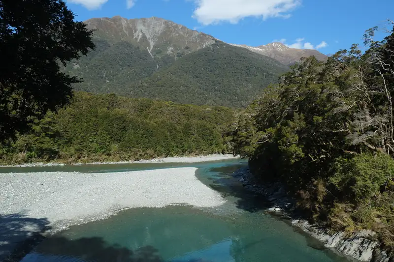
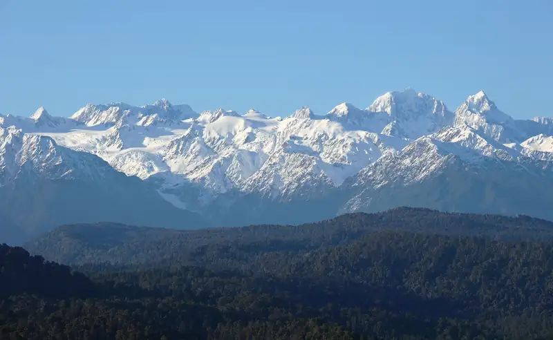
Mount Aspiring National Park covers the southern end of the Southern Alps, west of Wānaka, from the Haast River to the Humboldt Mountains. Its peak, Mount Aspiring / Tititea, is 3,033 m. Most visitors walk the Rob Roy Glacier Track or stay at Aspiring Hut in the Matukituki Valley, or stop at the Blue Pools on the Haast Pass highway.
Mount Aspiring National Park is the big wild park at the southern end of the Southern Alps, west of Wānaka. DOC describes it as stretching from the Haast River in the north to the Humboldt Mountains in the south, alongside Fiordland. It was created in 1964 and covers about 356,000 ha, though DOC’s own park page gives two slightly different figures.
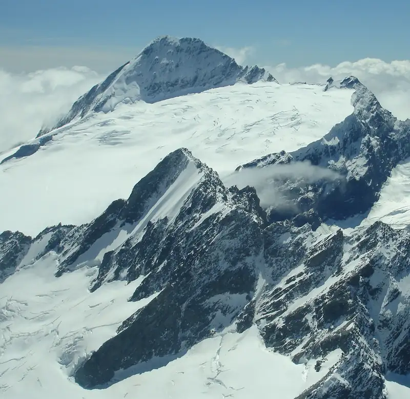
At its centre is Mount Aspiring / Tititea, 3,033 m, the only peak over 3,000 m outside Aoraki/Mount Cook National Park. You can’t walk up it. But you can walk under its glaciers in a day, and that is what most people come for.
Mount Aspiring / Tititea
DOC glosses the Māori name Tititea as “steep peak of glistening white”. Tititea is also the name of a Waitaha rangatira (chief), according to Christchurch Art Gallery. The English name came from J. T. Thomson, Otago’s chief surveyor, the first European known to have seen the mountain, in 1857.
The summit is for mountaineers with alpine skills. For a sense of where it sits among New Zealand’s highest peaks, see the highest mountains in New Zealand.
The park at a glance
|
|
| Created |
1964 |
| Area |
355,543 ha or 356,181 ha (both on DOC’s park page) |
| Closest towns |
Wānaka, Queenstown, Glenorchy, Te Anau |
| Main road |
SH6 crosses the north-west of the park, over Haast Pass |
| World Heritage |
Part of Te Wāhipounamu South West New Zealand, since 1990 |
| Fees |
Free to enter; huts and some campsites charge |
| Drones |
Not allowed without a permit |
Checked November 2026 (DOC).
DOC calls it possibly the least developed of New Zealand’s national parks. The valleys were carved by Ice Age glaciers, and the forest below the bushline is mostly beech. Above it are tussock, herb fields and the alpine birds: rock wren and the kea, which DOC says “have been known to take an unhealthy interest in visitors’ packs and tents”. Rare long-tailed bats roost in the old red beech of Makarora, the East Matukituki and the Routeburn.
The Matukituki Valley
Most walks in the park start from the Matukituki Valley, about an hour’s drive west of Wānaka. The road ends at Raspberry Creek car park, 54 km from town. DOC warns that the last 30 km is gravel, with fords in the final stretch that can be impassable after heavy rain. Check the weather before you drive in, and turn back if a ford looks too deep. If you would rather not drive it, a guided Rob Roy hike from Wānaka includes the drive up the valley and lunch facing the glacier.
| Walk |
Time |
Notes |
| Rob Roy Track |
10 km, 3 to 4 h return |
Up a side valley to views of the Rob Roy Glacier; avalanche danger May to November |
| West Matukituki Track to Aspiring Hut |
2 to 2.5 h one way |
Valley flats and farmland; good first overnight trip |
| Cascade Saddle Route |
Varies |
Demanding alpine route; avalanche danger June to November |
Checked November 2026 (DOC).
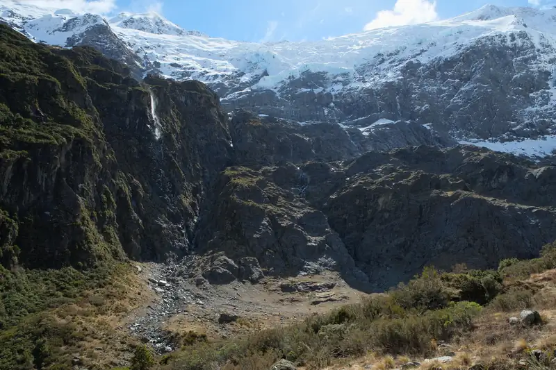
Rob Roy Glacier Track
This is the best day walk in the park, and it is popular for good reason. The track climbs a side valley off the West Matukituki to lookouts facing the Rob Roy Glacier. DOC gives 10 km and 3 to 4 hours return. The swing bridges have limits on how many people can be on them at once.
In avalanche season, May to November, DOC strongly recommends not going past the lower lookout. The track was closed from 2019 to 2021 after a slip, and a bridge upgrade was finished in October 2024. The full guide is on the Rob Roy Glacier Track page.
Aspiring Hut
Aspiring Hut, with its old stone walls, is the easy overnight trip into the park. DOC suggests it for families with children and people new to tramping. It is owned by the New Zealand Alpine Club and has 32 bunks.
| Aspiring Hut |
Per night |
| Adult non-member (18+) |
NZ$50 |
| Youth non-member (5 to 17) |
NZ$25 |
| NZ Alpine Club member, adult |
NZ$25 |
| Child under 5 |
Free |
Checked November 2026 (DOC). Bookings are required all year, and there are no spaces for walk-ins. Backcountry Hut Passes and tickets are not valid. From late October to early June a warden is on site; in winter the hut has fewer facilities and no cookers, so bring your own.
Makarora, the Blue Pools and Haast Pass
The other way into the park is State Highway 6, which crosses its north-west corner on the way from Wānaka to the West Coast. The Haast Pass route was a Māori greenstone trail long before the road. At 562 m it is the lowest of the road passes over the Main Divide; see Haast Pass.
The Blue Pools are the most popular stop: a track off SH6, about 10 km past Makarora and roughly 1 h 10 min from Wānaka, to clear pools where the Blue River meets the Makarora River. Parking is free, with toilets. DOC says it is very busy from November to April and that the sandflies can be fierce. Don’t jump off the swing bridges or wash in the pools.
Slips closed SH6 between Makarora and Lake Hāwea in late August 2026, and it then opened in daytime convoys. Check NZTA’s road conditions before you rely on the Haast Pass road.
Wānaka: the base for the park
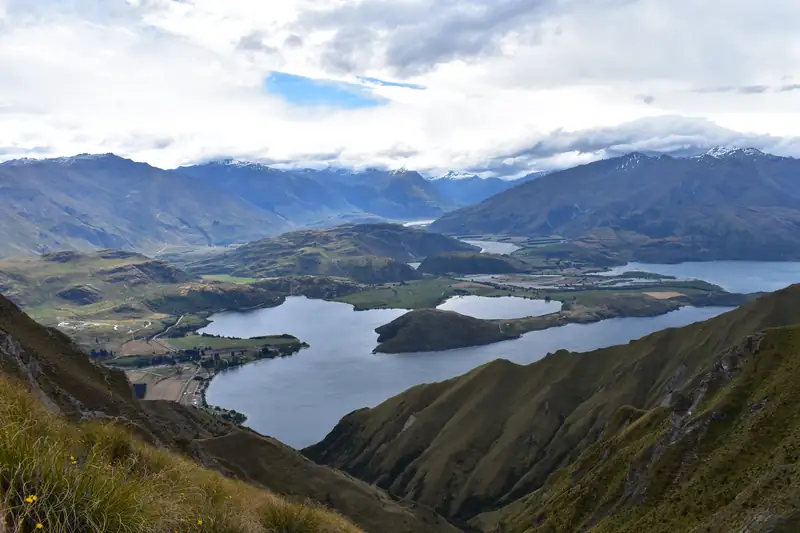
Wānaka is the town for this side of the park, with the DOC visitor centre for Tititea/Mount Aspiring National Park. The best-known hike near town, Roys Peak, is outside the park, on farmland about 6 km from Wānaka. It closes for lambing from 1 October to 10 November every year. For more ideas around town, see things to do in Wānaka.