Haast Pass (Tioripatea) is the lowest road crossing of the Southern Alps, 563 m above sea level on State Highway 6. The 140 km road from Wānaka to Haast passes Blue Pools, Fantail Falls, Thunder Creek Falls and the 1-hour Haast Pass Lookout Track. Slips closed part of it in 2026, so check NZTA first.
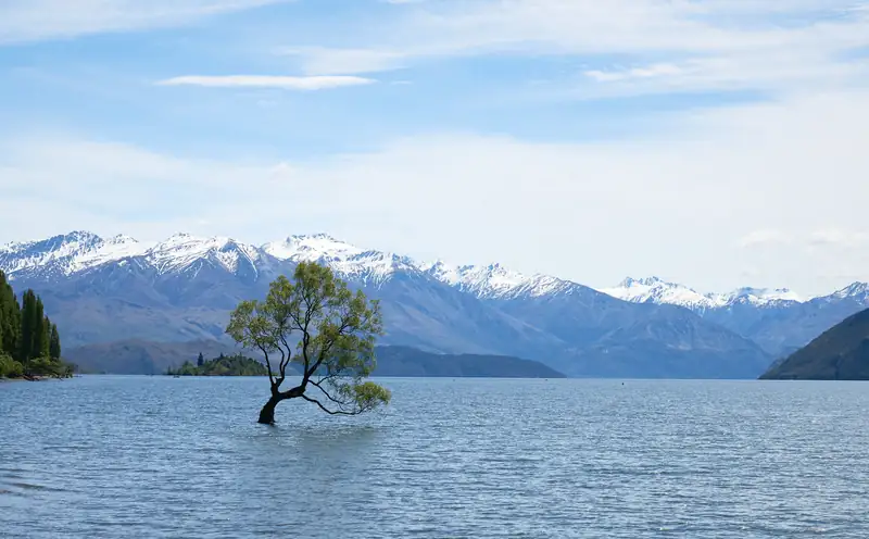
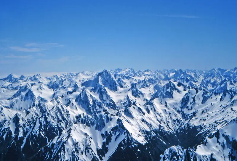
Haast Pass, or Tioripatea, is where State Highway 6 crosses the Southern Alps between Wānaka and the West Coast. At 563 m above sea level, DOC says it is “virtually an all-weather road” and the lowest of the three road passes that link Westland with the east coast. The 140 km stretch from Wānaka to Haast runs through Mount Aspiring National Park, past lakes Wānaka and Hāwea, the Blue Pools and a string of short waterfall walks.
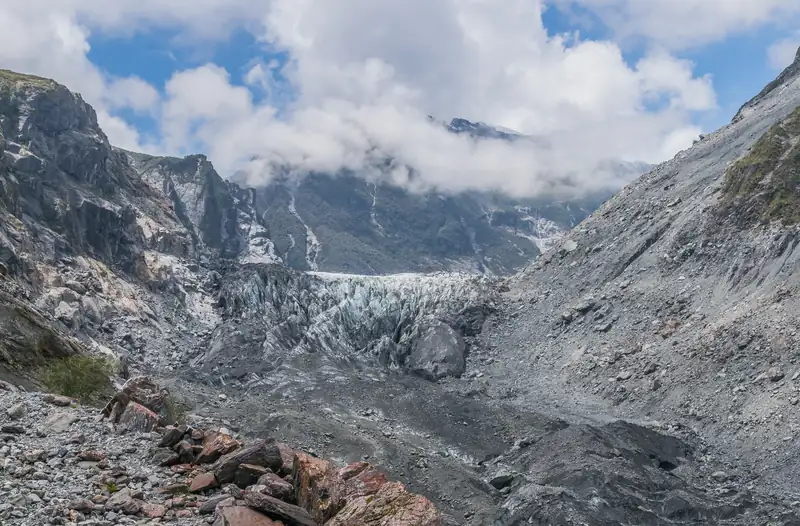
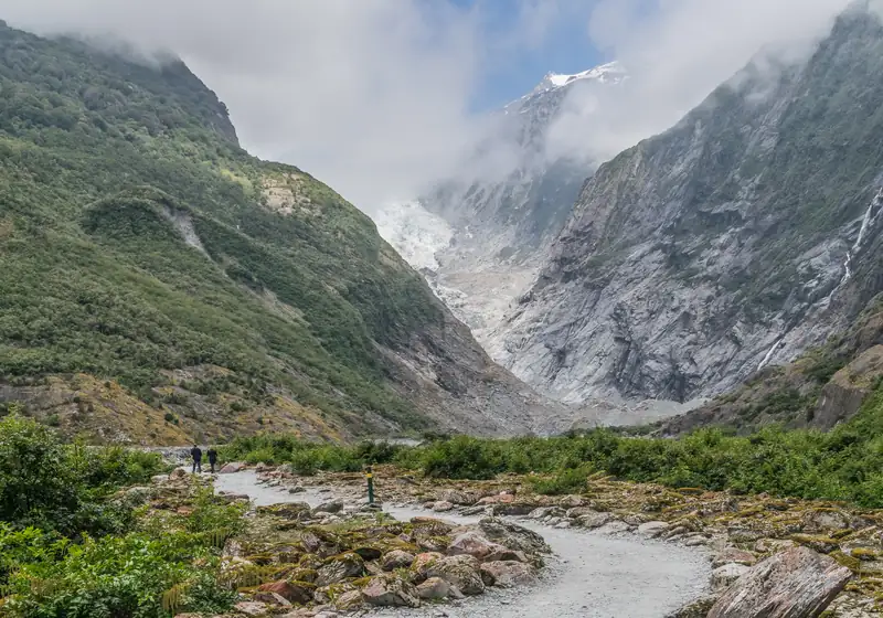
It is the road link between Wānaka or Queenstown and the Franz Josef and Fox glaciers.
Road conditions and closures
Check the road before you set off. On Friday 28 August 2026, heavy rain brought down about 30 slips on SH6 between Makarora and Lake Hāwea. NZTA ran escorted convoys three times a day from 1 September, then reopened the road in daylight at weekends while crews cleared rock and repaired the damage.
| SH6 Haast Pass highway |
Status |
| Makarora to Lake Hāwea |
Open; Stop/Go and 30 km/h on weekdays, 8 am to 6 pm, 10 October to 30 November 2026 |
| Pukekura to Haast (north of Haast) |
Stop/Go maintenance on weekdays, 7 am to 5 pm, 3 to 20 November 2026 |
| Live status |
NZTA Journey Planner (journeys.nzta.govt.nz) or 0800 4 HIGHWAYS |
| Snow |
MetService issues road snowfall warnings for Haast Pass |
Checked 12 November 2026. Source: NZTA Journey Planner.
DOC calls Haast Pass “virtually an all-weather road”, but slips, floods and snow do close it. The other road crossings of the main divide, Arthur’s Pass and Lewis Pass, are far to the north, so a closure can cost you a day. Keep fuel in the tank and a spare night in your plans if heavy rain is forecast.
Stops between Wānaka and Haast
DOC’s brochure for the highway lists short walks all the way along. These are the main ones, roughly in order from Wānaka.
| Stop |
Walk |
Notes |
| Blue Pools |
3.2 km return, 1 h 30 min |
Two swing bridges; free parking; busy Nov to Apr |
| Cameron Lookout |
1 km return, 20 min |
Silver beech forest; view over the Makarora valley |
| Bridle Track |
3.5 km one way, 1 h 30 min |
Davis Flat to the pass on the old route |
| Haast Pass Lookout Track |
1.5 km return, 1 h |
Climbs 150 m; starts at the pass |
| Fantail Falls |
5 min return |
Fan-shaped fall at the foot of Fantail Creek |
| Thunder Creek Falls |
200 m return, 5 min |
28 m waterfall across the Haast River |
| Roaring Billy Falls |
1 km return, 25 min |
Podocarp and beech forest, tree ferns |
Checked November 2026. Sources: DOC Blue Pools Track page and Walks along the Haast Highway brochure (June 2023).
Blue Pools
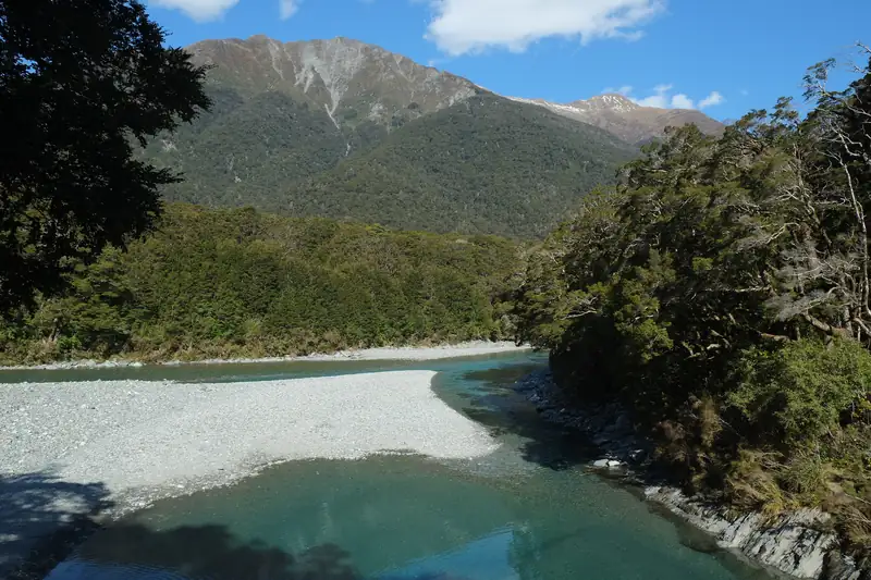
The Blue Pools are the busiest stop on the road. The car park is on SH6 about 10 km past Makarora if you’re driving from Wānaka, roughly 1 hour 10 minutes from both Wānaka and Haast. Parking is free, with two mobility spaces and toilets, but there is no drinking water.
The track runs through silver beech forest for about 30 minutes to a swing bridge over the Makarora River, then 2 minutes more to a second swing bridge above the pools. DOC says the water is fed by snow from the Southern Alps and looks “blue and crystal-clear” when it hasn’t rained for a while. After heavy rain it turns brown.
Three rules: no jumping off the swing bridges, no washing in the pools, and bring insect repellent, because DOC warns the sandflies “can be fierce”. Cameron Flat Campsite is across the road if you want to stay.
Haast Pass Lookout
The Haast Pass Lookout Track starts at the pass itself. It’s a well-kept gravel track that climbs 150 m through beech forest to a viewpoint above the trees, with Mount Brewster (2,516 m) standing out to the north-east. Allow an hour return.
The Bridle Track follows part of the old bridle track, the first link between Otago and Westland, between the pass and Davis Flat. DOC suggests two cars or walking back the same way. Don’t walk back along the highway, which is narrow and busy.
History of the pass
Māori from the West Coast, Foveaux Strait and coastal Otago crossed the pass to trade pounamu (greenstone) and food. DOC gives the name Tiori-patea the meaning “the way ahead is clear”. They called the Makarora valley Kaika Paekai, “the place of abundant food”.
Charles Cameron, an explorer and gold prospector, is generally credited as the first European to cross, in 1863. Julius Haast followed soon after. A pack track existed by 1876, and most of the road was built by hand in the 1930s Depression, when up to 400 men worked with picks, shovels and horse-drawn carts. War stopped the work. The road to Haast finally opened in 1960, and the last section north of Haast, linking Westland with Otago, was finished in 1965.
Weather
The pass sits on a sharp rain line. DOC gives about 3,800 mm a year at Haast, more than 8,300 mm on the lower western slopes, 4,500 mm at the pass, and only about 2,000 mm at the head of Lake Wānaka. That’s why the forest changes from rimu and kāmahi on the West Coast side to silver beech, then to dry tussock hills near Lake Hāwea.
Where to stop overnight
Services are thin between Wānaka and Haast. Makarora, 10 minutes from the Blue Pools, has limited food and petrol, and DOC has no visitor centre there; use the Wānaka or Haast visitor centres instead. DOC runs four campsites along the highway: Kidds Bush Reserve near Lake Hāwea, Boundary Creek, Cameron Flat across the road from the Blue Pools, and Pleasant Flat on the West Coast side of the pass. Pleasant Flat is the nearest toilet stop to Thunder Creek Falls, 5 km away. DOC asks you to book these sites ahead online.
Planning the drive
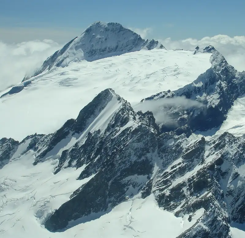
From Haast, the glacier villages are about 2 more hours north, per DOC. Heading the other way, Wānaka is the natural stop: see things to do in Wānaka. The highway runs through Mount Aspiring National Park, and you can see how it fits the range on our Southern Alps map. For a full loop through the glaciers and Aoraki/Mount Cook, see our South Island itinerary.