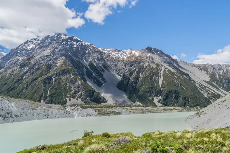
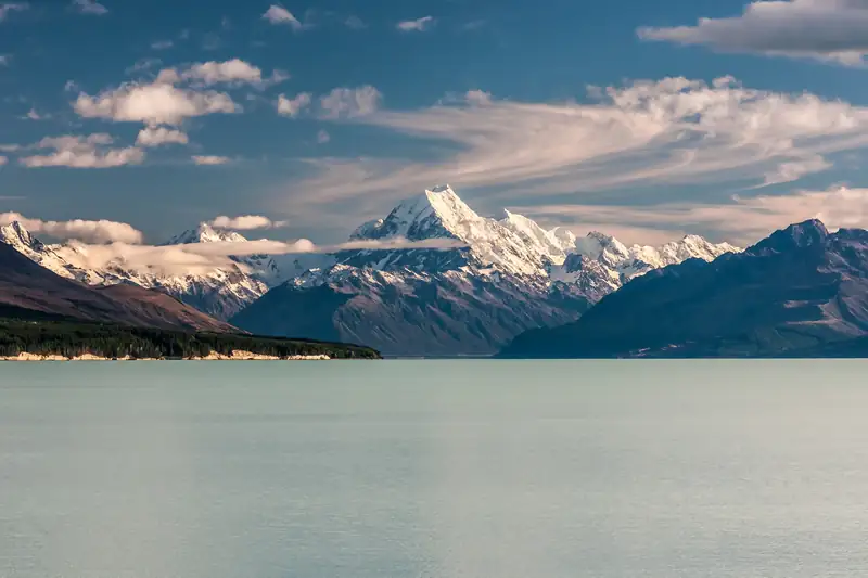
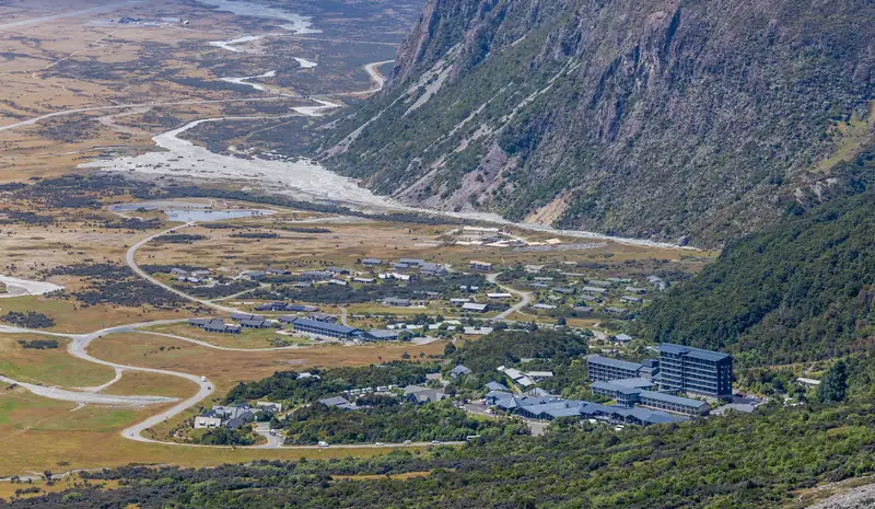
Kea Point Track is a short walk in Aoraki/Mount Cook National Park to a viewing deck on the Mueller Glacier moraine wall, facing Mount Sefton, Mueller Lake and Aoraki/Mount Cook. It takes about 1 hour return from White Horse Hill Campground or 2 hours from the village, with 180 m of gentle climbing.
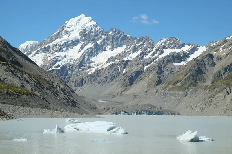
Kea Point Track is a short walk from Aoraki/Mount Cook Village to a viewing deck on the moraine wall of the Mueller Glacier. DOC times it at about 1 hour return from White Horse Hill Campground, or 2 hours return from the village, with 180 m of height gain over 3 km. From the deck you look at Mount Sefton, The Footstool, Mueller Lake, the Hooker Valley and Aoraki/Mount Cook (3,724 m).
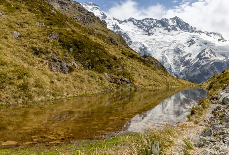
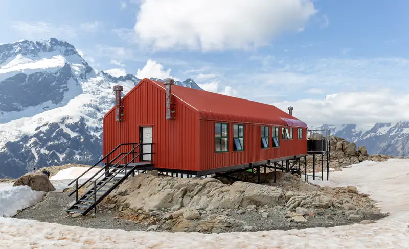
It is a good choice if you want a big view of the peaks in an hour, without the crowds and the three bridges of the Hooker Valley Track. It is also the start of the steeper Sealy Tarns Track and the alpine route to Mueller Hut.
Kea Point Track details
Checked November 2026:
|
From White Horse Hill |
From the village |
| Start |
White Horse Hill Campground, end of Hooker Valley Road |
Terrace Road, near the visitor centre |
| Return time |
About 1 h |
About 2 h |
| Distance |
Shorter (DOC gives no separate figure) |
About 3 km to the deck |
| Height gain |
Not given separately |
180 m |
| Parking |
Paid: NZ$2.50 per half hour, NZ$25 a day |
Free if you are staying in the village |
Times, distance and height gain come from DOC’s Kea Point Track page and its Aoraki/Mount Cook walking tracks brochure. DOC grades the track easy to intermediate. There was no DOC alert on the track on 12 November 2026.
What you walk through
The track winds gently through subalpine grassland and scrub towards the moraine wall, the ridge of rock and gravel the glacier left behind. DOC points out that this ground took its shape in 1913, when a stream broke through from the glacier to the site of the original Hermitage hotel and damaged the building.
The deck sits at the top of that wall. Mueller Lake lies below it, Mount Sefton and The Footstool rise across the valley, and Aoraki/Mount Cook stands at the head of the Hooker Valley.
Parking and getting there
If you are staying in Aoraki/Mount Cook Village, walk from Terrace Road and skip the car. The Mount Cook accommodation guide lists the places close to the start.
If you drive, take SH80 out of the village towards Twizel and turn left onto Hooker Valley Road. The road ends at White Horse Hill, about 2.5 km away. The car park there is paid, checked November 2026:
- NZ$2.50 per half hour or NZ$25 a day.
- Free if you leave within 20 minutes.
- Debit or credit card at the machines; no cash.
DOC made the charge permanent in July 2026 after a pilot over the 2025-26 summer. The same car park serves the Hooker Valley Track, so on busy days DOC says it fills. Arrive early, or walk from the village.
Tips
- Bring a warm layer and a rain jacket. DOC warns that strong wind, rain and snow are possible at any time of year in this park.
- Kea are protected. Do not feed them, and keep food and loose gear out of reach.
- Drones are not allowed anywhere in Aoraki/Mount Cook National Park.
- Want more height? At the signposted turnoff, the Sealy Tarns Track climbs 600 m up 2,200 steps. It takes 3 to 4 hours return.
Kea Point or the Hooker Valley?
If you have time for only one walk, the choice comes down to time and crowds. The Hooker Valley Track takes about 3 hours return, crosses three swing bridges and ends at Hooker Lake, right under Aoraki. In summer DOC limits the first bridge to 20 people at a time, so you may have to wait. Kea Point takes about an hour from the same car park and still gives you Aoraki, Mount Sefton and Mueller Lake in one view. One plan that suits both: Kea Point on the evening you arrive, then the Hooker Valley at dawn, which DOC suggests as the time with the fewest walkers.
For the rest of the park’s walks, see the Aoraki/Mount Cook guide or the full list of things to do in Mount Cook.