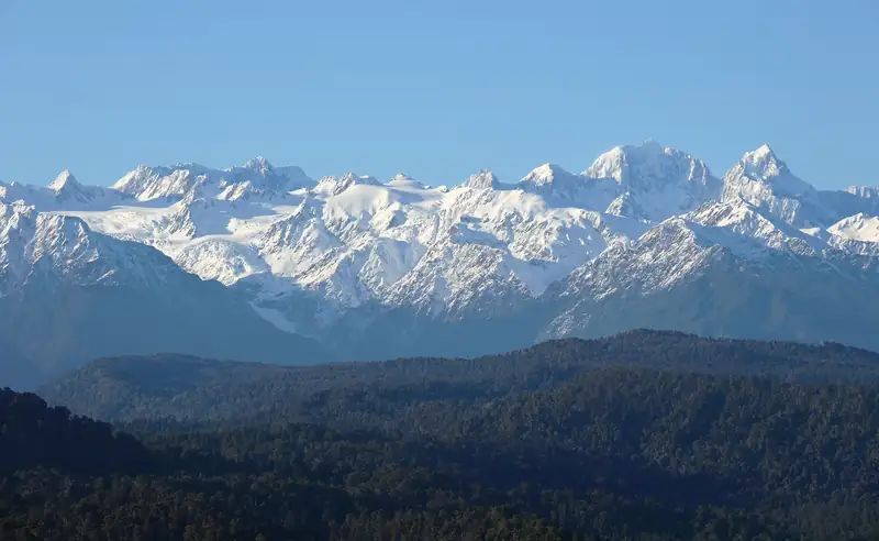
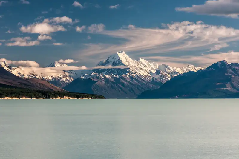
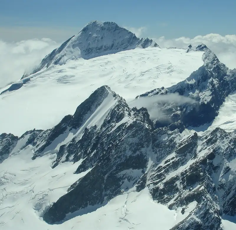
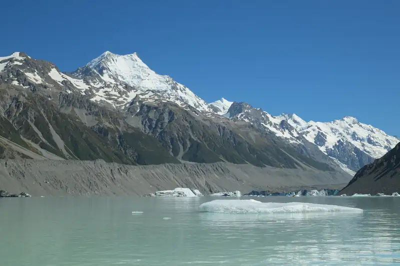
The highest mountain in New Zealand is Aoraki / Mount Cook, at 3,724 m. Second is Mount Tasman (3,497 m), then Mount Dampier (3,440 m). Every summit over 3,000 m is in the Southern Alps, and all but Mount Aspiring stand within a few kilometres of Aoraki in Aoraki/Mount Cook National Park.
The highest mountain in New Zealand is Aoraki / Mount Cook, at 3,724 m. Mount Tasman is second at 3,497 m and Mount Dampier third at 3,440 m. All three stand on the same short stretch of the Main Divide of the Southern Alps, in Aoraki/Mount Cook National Park.
That clustering is the striking thing about New Zealand’s high peaks. Every named summit over 2,900 m is in the Southern Alps, and all of them except Mount Aspiring sit within about 16 km of Aoraki.
The highest peaks, by height
| Rank |
Summit |
Height |
Notes |
| 1 |
Aoraki / Mount Cook |
3,724 m |
High Peak; 3,764 m until 1991 |
| 2 |
Aoraki: Middle Peak |
3,717 m |
Part of the Aoraki summit ridge |
| 3 |
Aoraki: Low Peak |
3,593 m |
Part of the Aoraki summit ridge |
| 4 |
Mount Tasman / Horo-kōau |
3,497 m |
Second-highest mountain |
| 5 |
Mount Dampier |
3,440 m |
Third-highest mountain |
| 6 |
Mount Vancouver |
3,309 m |
Nearest higher peak: Mount Dampier |
| 7 |
Silberhorn |
3,300 m |
A shoulder of Mount Tasman |
| 8 |
Malte Brun |
3,198 m |
|
| 9 |
Mount Hicks |
3,198 m |
|
| 10 |
Lendenfeld Peak |
3,194 m |
|
| 11 |
Mount Graham |
3,184 m |
|
| 12 |
Torres Peak |
3,160 m |
|
| 13 |
Mount Sefton |
3,151 m |
The peak you face from Kea Point |
| 14 |
Mount Teichelmann |
3,144 m |
|
| 15 |
Mount Haast |
3,114 m |
|
| 16 |
Mount Elie de Beaumont |
3,109 m |
|
| 23 |
Mount Aspiring / Tititea |
3,033 m |
The only 3,000 m peak away from the Aoraki area |
Source: Wikipedia’s list of mountains of New Zealand by height, which takes its heights from LINZ Topo50 maps; Aoraki’s height is the 2013 University of Otago survey. Checked November 2026. The same Wikipedia page gives Malte Brun as 3,198 m in one table and 3,199 m in another.
Why the top five depends on how you count
Many of these summits are not separate mountains. Aoraki’s Middle and Low peaks are bumps on one summit ridge. The Silberhorn rises only about 35 m above the saddle that joins it to Mount Tasman.
Wikipedia’s second list counts only mountains that stand at least 300 m above the saddle linking them to a higher peak (their prominence). On that test the top five are:
- Aoraki / Mount Cook, 3,724 m
- Mount Tasman, 3,497 m
- Malte Brun, 3,199 m
- Mount Sefton, 3,151 m
- Mount Elie de Beaumont, 3,109 m
Both lists are correct. They answer slightly different questions.
Mount Tasman, the second-highest
Mount Tasman is about 3.2 km from Aoraki, its nearest higher neighbour, on the Main Divide. Julius von Haast, Canterbury’s provincial geologist, named it in 1862 after Abel Tasman, the Dutch navigator who sighted the range in 1642. Its Māori name is Horo-kōau. In the Ngāi Tahu tradition of Aoraki and his brothers, a DOC blog names the brother who became Horo-kōau as Rarakiroa.
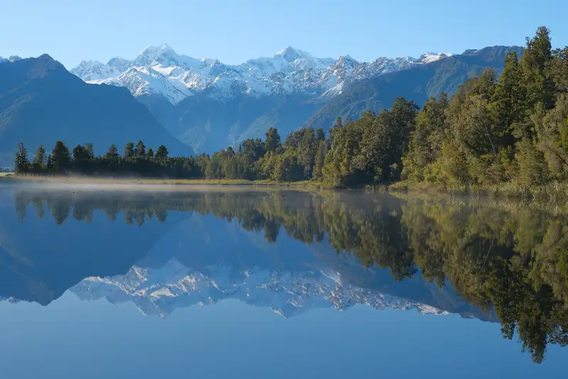
The best-known view of it is from the West Coast: Lake Matheson, near Fox Glacier, reflects Mount Tasman and Aoraki side by side on calm mornings.
Edmund Hillary climbed Mount Tasman and Mount Dampier as well as Aoraki with guide Harry Ayres in the late 1940s, when he was learning his ice skills in these mountains.
How many mountains are over 3,000 m?
There is no single agreed number, and you should be wary of any site that gives one without saying how it counted.
| Source |
Count |
What it counts |
| DOC |
19 |
Peaks over 3,000 m in Aoraki/Mount Cook National Park |
| Wikipedia list (Topo50) |
26 |
Named summits, including Aoraki’s Middle and Low peaks |
| Te Ara (different pages) |
20, 23 and 24 |
Not stated consistently |
The safe statement is that about two dozen summits top 3,000 m, that all of them are in the Southern Alps, and that DOC counts 19 inside Aoraki/Mount Cook National Park. The one well away from that cluster is Mount Aspiring / Tititea in Mount Aspiring National Park, which DOC describes as the only peak over 3,000 m outside Mount Cook National Park.
Why are the peaks so high here?
The Southern Alps sit on the boundary between the Pacific and Australian plates. The plates meet at an angle, and the range is pushed up along the Alpine Fault, which runs for hundreds of kilometres along its western edge. Around Aoraki, GPS studies measure uplift of up to about 1 cm a year. Erosion wears the rock away at roughly the same pace, which is why the peaks are not far higher than they are.
The rock is also falling down. The best-known example is the 1991 rock avalanche that took about 10 m off the top of Aoraki. Together with the thinning of the summit ice cap afterwards, it is why the country’s highest mountain went from 3,764 m to today’s 3,724 m.
The highest peaks outside the Southern Alps
The North Island’s highest point is Tahurangi, the summit of Ruapehu, at 2,797 m. The highest peak outside the Southern Alps is Tapuae-o-Uenuku, 2,885 m, in the Inland Kaikōura Range. Neither would make a top 30 of Southern Alps summits.
Where to see the highest mountains
- Hooker Valley Track: the easiest close view of Aoraki, about 5 km each way from White Horse Hill. See the Hooker Valley Track guide.
- Lake Pukaki: Aoraki at the head of the lake from SH80 and Peters Lookout. See Lake Pukaki.
- Lake Matheson: Aoraki and Mount Tasman together, from the West Coast side.
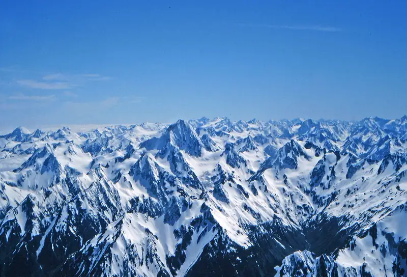
- From the air: ski planes and helicopters fly over the Tasman Glacier and the main peaks. The cheapest helicopter option is a 25-minute flight to an alpine landing facing Aoraki. Compare them all on Mount Cook scenic flights.
The ice between these peaks is a story of its own. See New Zealand glaciers for the Tasman, Franz Josef and Fox glaciers.