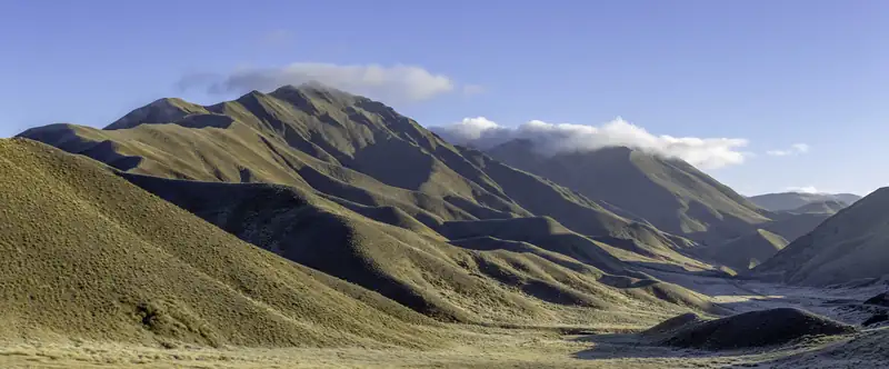
Lindis Pass is the high point of State Highway 8 between the Mackenzie Country and Central Otago, at 971 m according to NZHistory (NZTA gives 965 m). It is about 25 minutes' drive south of Ōmarama, on the road between Mount Cook and Wānaka or Queenstown, and it is known for its tussock hills.
Lindis Pass is the high point of State Highway 8 between the Mackenzie Country and Central Otago. NZHistory puts it at 971 m and the NZ Transport Agency at 965 m. It is about 25 minutes’ drive south of Ōmarama, and you cross it when driving between Aoraki/Mount Cook and Wānaka or Queenstown. DOC calls the surrounding hills possibly New Zealand’s best-known tussock grassland landscape.
It is not a crossing of the Southern Alps. The pass lies east of the main range, on the watershed between the Waitaki and Clutha rivers.
Lindis Pass at a glance
Checked November 2026:
|
Detail |
| Height |
971 m (NZHistory) or 965 m (NZTA) |
| Highway |
SH8 |
| From Ōmarama |
About 32 km, 25 min |
| From Tarras |
About 45 km, 35 min |
| From Wānaka |
About 80 km, 1 h 05 min |
| From Twizel |
About 63 km, 50 min |
| Main Divide crossing |
No |
| Facilities |
Car park and viewpoint at the summit; no fee found |
| Winter |
Carry chains (NZTA) |
Distances and times are our estimates from OpenStreetMap routing. They assume free-flowing traffic and run short on mountain roads, so add 15 to 25 percent.
How high is Lindis Pass?
Two official sources disagree. NZHistory gives 971 m, and Wikipedia uses the same figure. An NZ Transport Agency release about the summit web camera gives 965 m and calls the pass the highest point on the South Island’s state highway network. We could not confirm which is the surveyed figure, so the honest answer is about 965 to 971 m.
The road and winter driving
SH8 runs over the pass between Ōmarama to the north and Tarras to the south, linking the Mackenzie Country with Central Otago. Driving from Wānaka to Aoraki/Mount Cook Village is about 207 km, and this pass is the high point of that drive.
In winter the NZ Transport Agency advises carrying chains and knowing how to fit them on Lindis Pass; one of its releases gives June to the end of August as the period. DOC says the high country here gets snow and ice in winter, and alpine conditions are possible at any time of year. Check NZTA’s road conditions before you go.
Summer is the opposite problem. DOC warns of very hot, dry conditions, so carry water if you stop to walk.
Cell coverage cannot be relied on in the area, according to DOC.
The summit lookout and walks
There is a car park at the top of the pass with a viewpoint and short trails to other viewing spots.
For a longer walk, DOC’s Lindis Pass tracks brochure lists the Pylon Track, which starts from the car park near the summit and follows the valley floor downhill: 6 to 7 hours and 19 km one way to Goodger Road. It crosses private farmland on a public easement and is closed for lambing from 15 October to 30 November. Several other DOC tracks in the Lindis Conservation Area are long routes, some graded expert, used by trampers, mountain bikers and trail runners.
Do not confuse the pass with Lindis Peak, a separate 1,226 m summit with its own track off Old Faithful Road.
Tussock and wildlife
Snow tussock covers the hills. DOC says the Lindis Conservation Group volunteers clear weeds such as briar, broom, Russell lupins and thistles from the Lindis Pass Scenic Reserve, which keeps it relatively weed-free. Look for kārearea (New Zealand falcon) and pīhoihoi (New Zealand pipit) on the open slopes, and skinks among the rocks.
A short history
DOC’s Lindis Pass brochure says that in the late 19th century Māori from the east coast crossed the high-country passes to the West Coast to collect pounamu (greenstone), on a trail called Tahu-a-arapaoa that ran from the Waitaki valley over Lindis Pass to Lake Hāwea.
Otago surveyor John Turnbull Thomson crossed the pass in 1857 and named it after Lindisfarne, the island in north-east England, according to NZHistory. In 1861 the Lindis River had a short gold rush: about 300 miners were there by April, and by July they had gone, put off by the isolation, the climate, the cost of supplies and poor returns.
Nearby
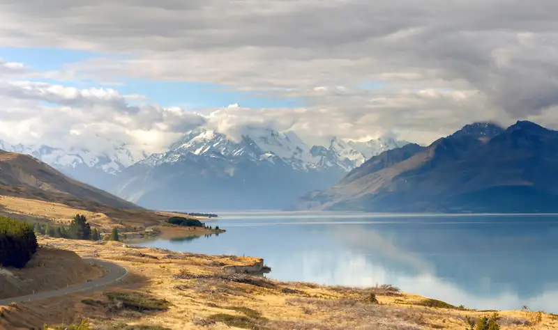
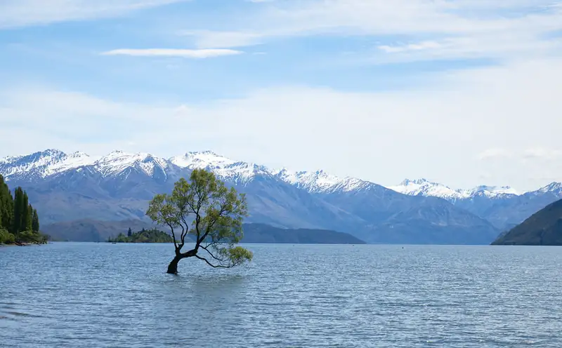
North of the pass, Lake Ōhau and the Alps 2 Ocean Cycle Trail are a short detour from Ōmarama. For the full drives over the pass, see Christchurch to Queenstown and Queenstown to Mount Cook, and for a stop at the southern end, things to do in Wānaka.