Image credits
The photographs on this site come from Wikimedia Commons and are used under the licences listed below. Each licence applies to the photograph it sits beside, not to the text on this site. Follow the source link for the full licence terms and the original file.
| Image | Subject | Photographer | Licence | Source |
|---|---|---|---|---|
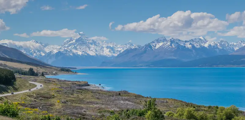 | Aoraki/Mount Cook and the Southern Alps at the head of Lake Pukaki, with the road along the western shore | Krzysztof Golik | CC BY-SA 4.0 | Wikimedia Commons |
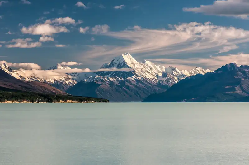 | Aoraki/Mount Cook rising above Lake Pukaki in late-afternoon light, with streaks of cloud | mhx | CC BY-SA 2.0 | Wikimedia Commons |
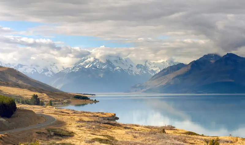 | View from Peters Lookout up Lake Pukaki to the Southern Alps, Mount Cook Road below | Bernard Spragg | Public domain | Wikimedia Commons |
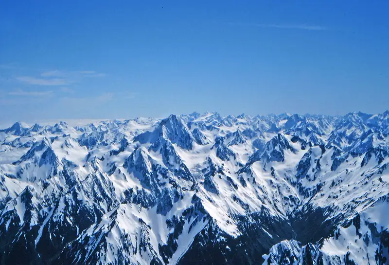 | Aerial view of snow-covered peaks of the Southern Alps (April 2006) | W. Bulach | CC BY-SA 4.0 | Wikimedia Commons |
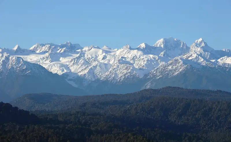 | The Southern Alps from Douglas Peak to Aoraki/Mount Cook in morning light, seen from Okarito Trig on the West Coast | Pseudopanax | Public domain | Wikimedia Commons |
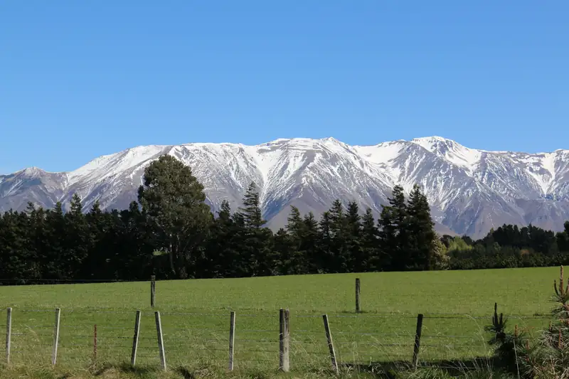 | The Mount Hutt range seen across farmland at Windwhistle on the edge of the Canterbury Plains | Wildman NZ | CC BY-SA 4.0 | Wikimedia Commons |
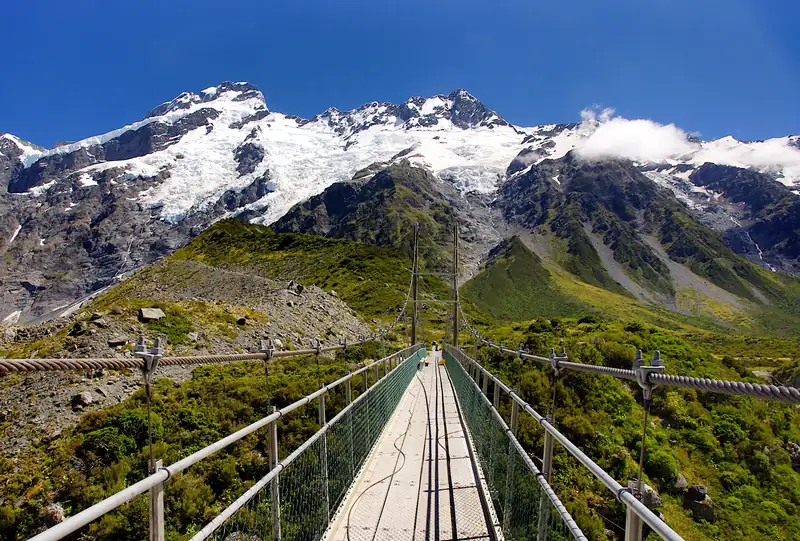 | Swing bridge on the Hooker Valley Track, with Mount Sefton and The Footstool behind | Jan Helebrant | CC0 | Wikimedia Commons |
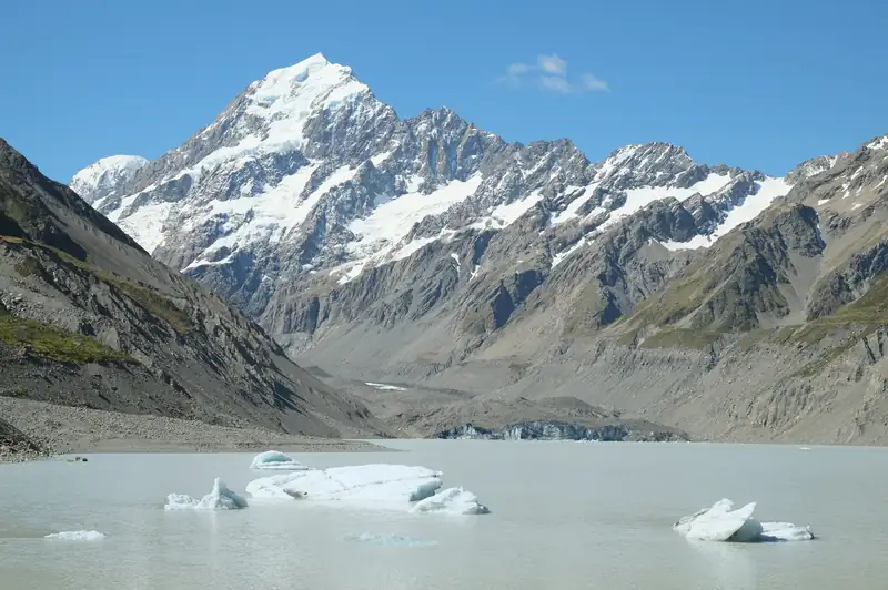 | Icebergs in Hooker Lake with Aoraki/Mount Cook at the head of the valley | Pseudopanax | CC BY 3.0 | Wikimedia Commons |
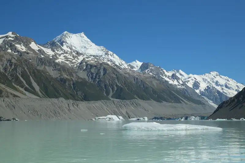 | Icebergs on Tasman Lake below the moraine walls, Aoraki/Mount Cook in the background | Pseudopanax | Public domain | Wikimedia Commons |
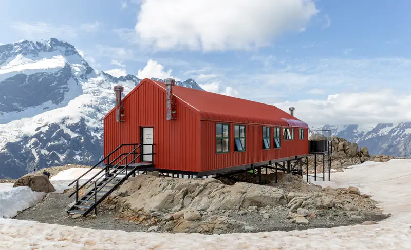 | Mueller Hut on the Sealy Range, with snow-covered peaks behind | Michal Klajban | CC BY-SA 4.0 | Wikimedia Commons |
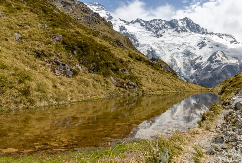 | One of the Sealy Tarns, with Mount Sefton reflected in the water | Michal Klajban | CC BY-SA 4.0 | Wikimedia Commons |
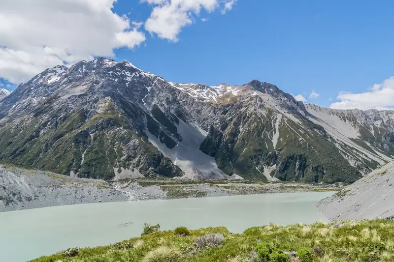 | Mueller Lake and the Sealy Range seen from Kea Point | Krzysztof Golik | CC BY-SA 4.0 | Wikimedia Commons |
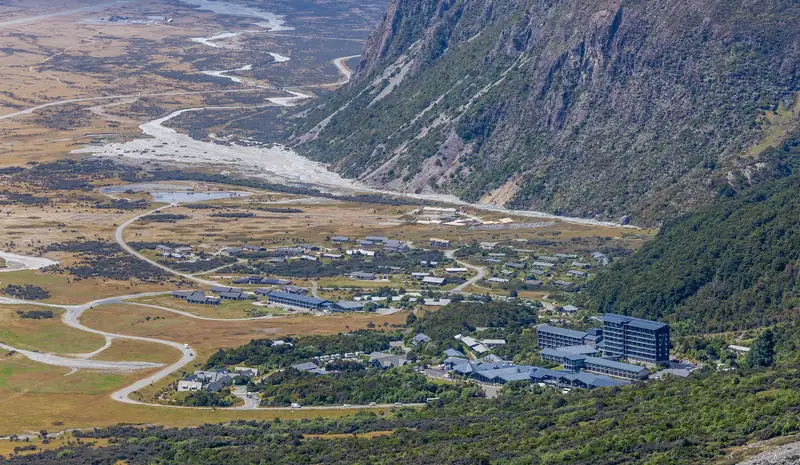 | Mount Cook Village from above, with the Hermitage hotel and the wide valley floor beyond | Michal Klajban | CC BY-SA 4.0 | Wikimedia Commons |
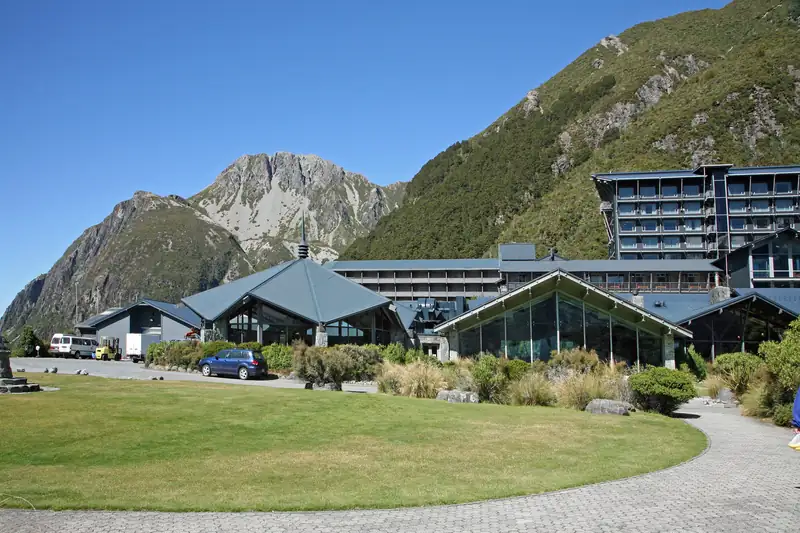 | The Hermitage hotel in Mount Cook Village (March 2009) | W. Bulach | CC BY-SA 4.0 | Wikimedia Commons |
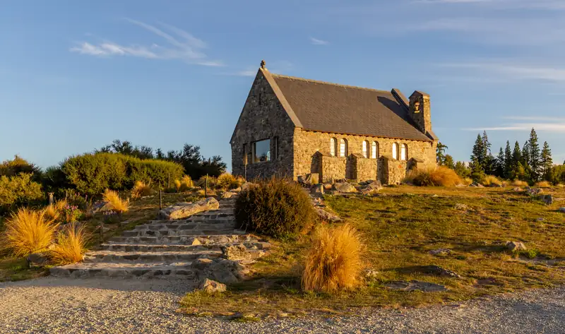 | Church of the Good Shepherd on the shore of Lake Tekapo in evening light | Michal Klajban | CC BY-SA 4.0 | Wikimedia Commons |
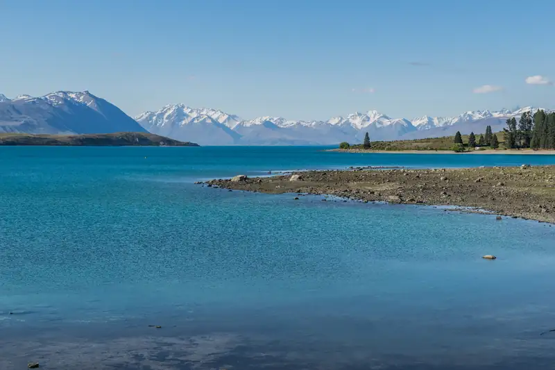 | Lake Tekapo with snow-capped mountains across the water | Krzysztof Golik | CC BY-SA 4.0 | Wikimedia Commons |
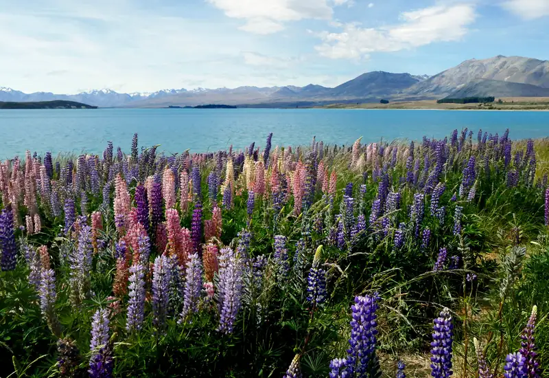 | Russell lupins in flower on the shore of Lake Tekapo in December | Bernard Spragg | CC0 | Wikimedia Commons |
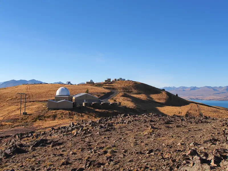 | Mount John University Observatory above Lake Tekapo (April 2013) | rheins | CC BY 3.0 | Wikimedia Commons |
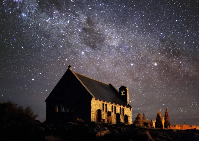 | The Milky Way and Southern Cross over the Church of the Good Shepherd at Lake Tekapo | Fraser Gunn | CC BY 4.0 | Wikimedia Commons |
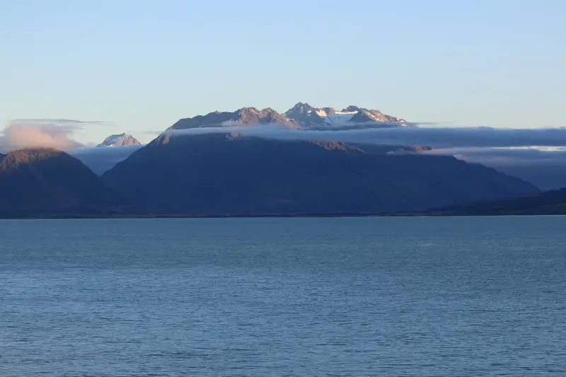 | Lake Ohau looking north from Lake Ohau Alpine Village, cloud on the peaks at the head of the lake | Wildman NZ | CC BY-SA 4.0 | Wikimedia Commons |
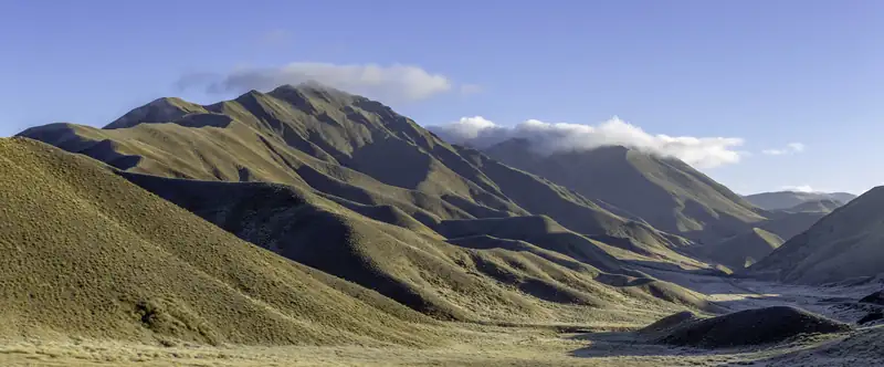 | Tussock-covered hills in the Lindis Pass | Michal Klajban | CC BY-SA 4.0 | Wikimedia Commons |
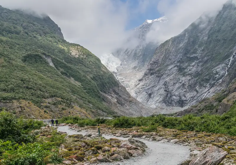 | Franz Josef Glacier at the head of its valley, seen from the valley walk | Krzysztof Golik | CC BY-SA 4.0 | Wikimedia Commons |
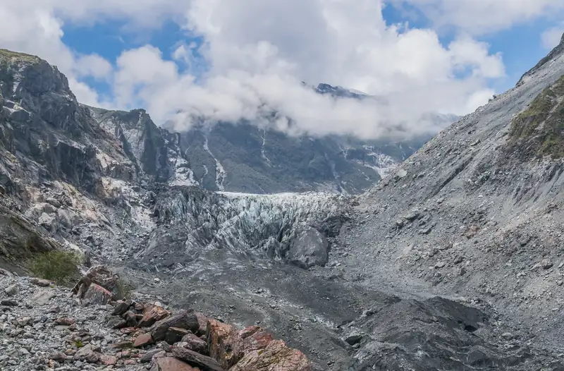 | Terminal face of Fox Glacier between bare rock valley walls | Krzysztof Golik | CC BY-SA 4.0 | Wikimedia Commons |
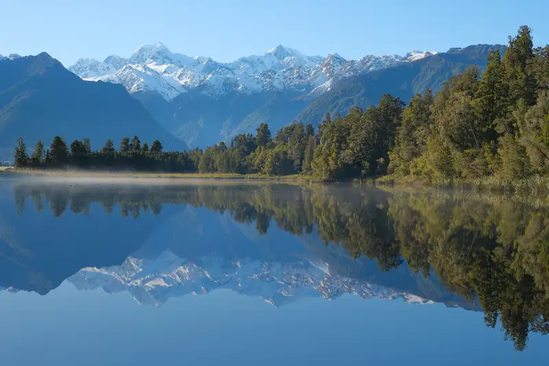 | Mount Tasman (left) and Aoraki/Mount Cook (right) reflected in Lake Matheson in the morning | Pseudopanax | Public domain | Wikimedia Commons |
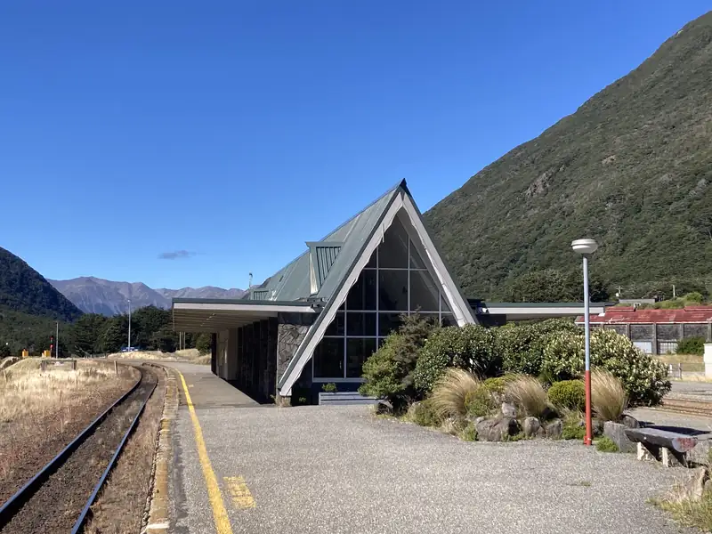 | Arthur's Pass railway station in Arthur's Pass village | Mike Dickison | CC BY 4.0 | Wikimedia Commons |
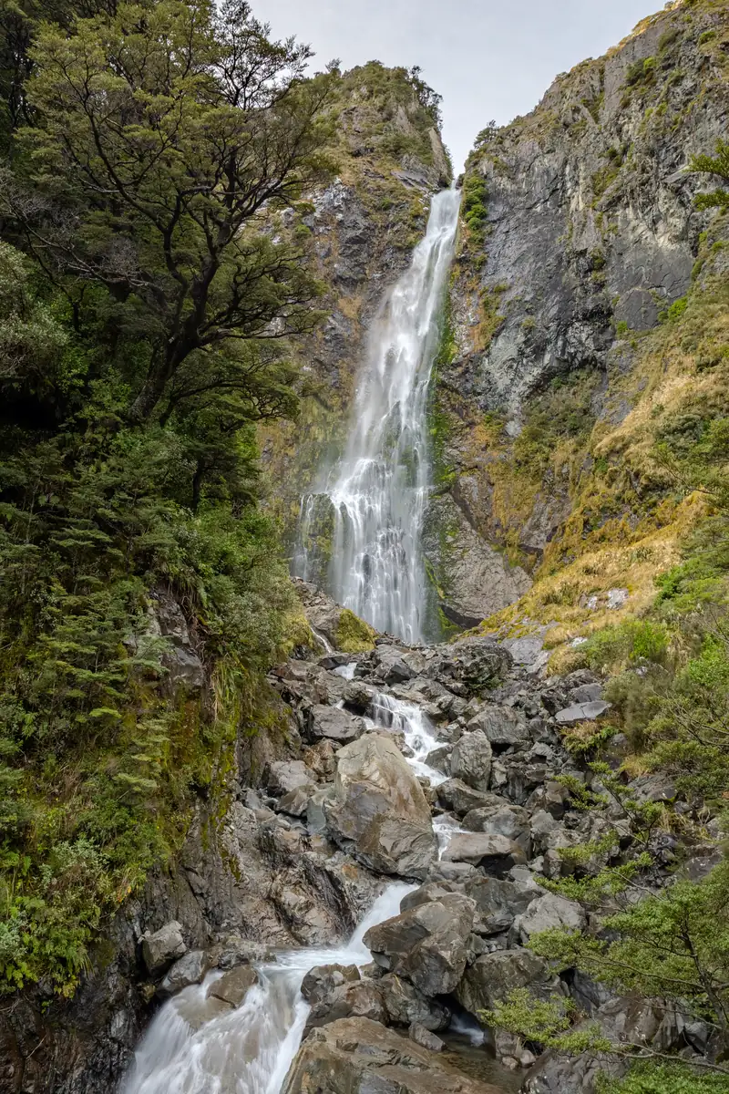 | Devil's Punchbowl Falls, Arthur's Pass National Park (portrait) | Michal Klajban | CC BY-SA 4.0 | Wikimedia Commons |
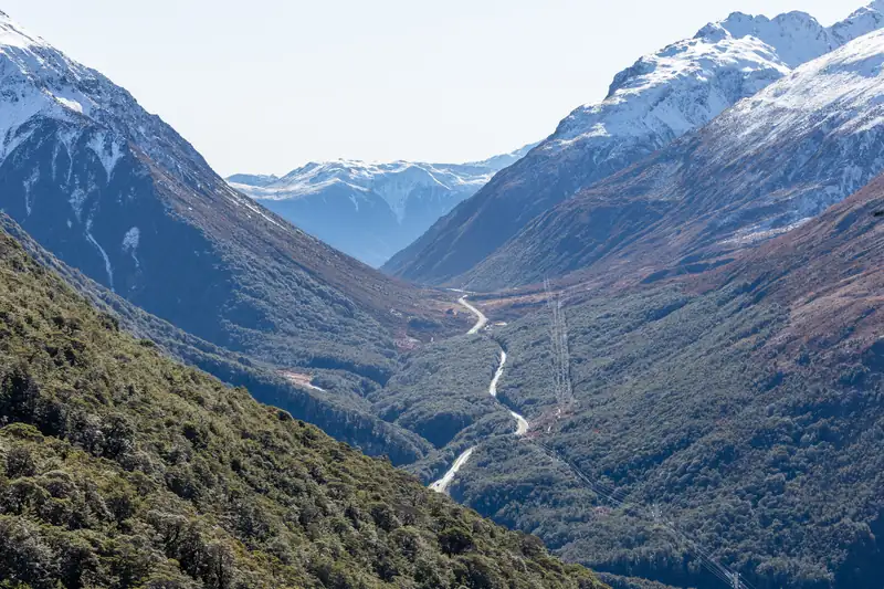 | Looking down the valley at Arthur's Pass from the Avalanche Peak track | Michal Klajban | CC BY-SA 4.0 | Wikimedia Commons |
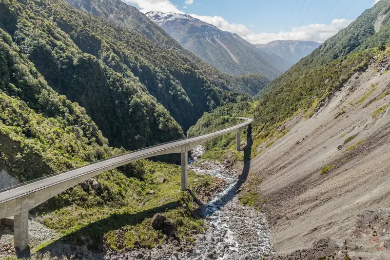 | The Otira Viaduct on State Highway 73 below Arthur's Pass | Krzysztof Golik | CC BY-SA 4.0 | Wikimedia Commons |
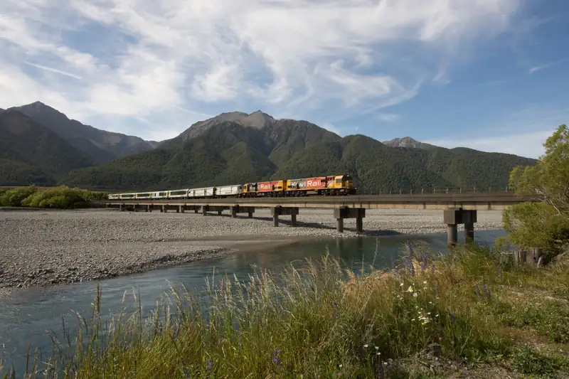 | The TranzAlpine train crossing the Bealey River bridge | Kevin Prince | CC BY-SA 2.0 | Wikimedia Commons |
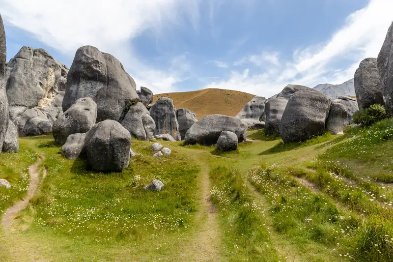 | Limestone boulders at Castle Hill (Kura Tawhiti), Canterbury | Michal Klajban | CC BY-SA 4.0 | Wikimedia Commons |
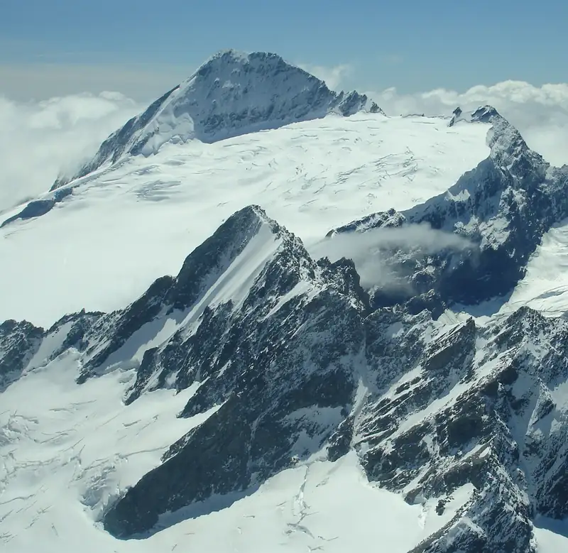 | Aerial view of Mount Aspiring/Tititea with the Bonar Glacier and Mount Avalanche (peaks named by Commons image annotations; the Flickr caption only says near Mount Cook) | Alex Proimos | CC BY 2.0 | Wikimedia Commons |
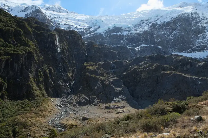 | Rob Roy Glacier across the head of the Rob Roy Valley in spring 2014 | Pseudopanax | Public domain | Wikimedia Commons |
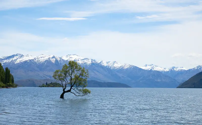 | That Wanaka Tree standing in Lake Wanaka, snow-capped mountains behind | Pedro Szekely | CC BY-SA 2.0 | Wikimedia Commons |
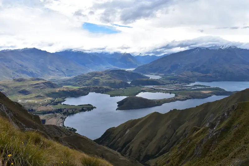 | Lake Wanaka and its arms seen from the Roys Peak track | Sky_xe | CC BY-SA 4.0 | Wikimedia Commons |
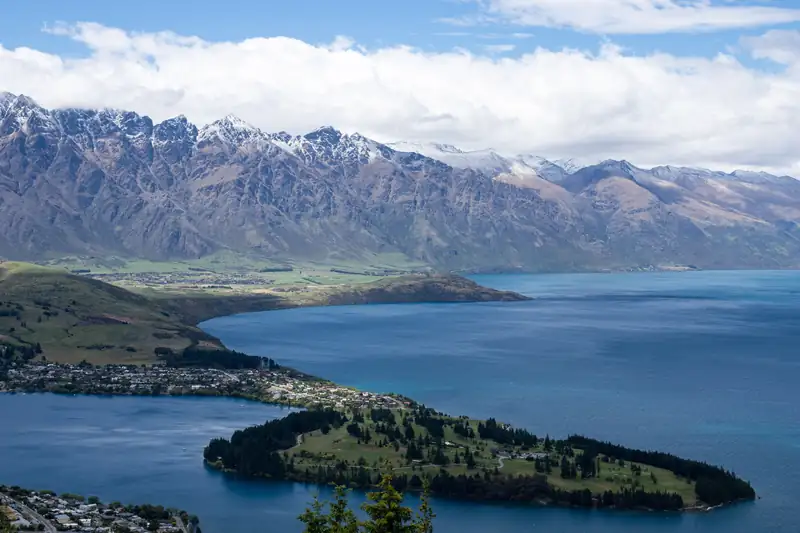 | The Remarkables and Lake Wakatipu from Queenstown, a wooded peninsula in the foreground | Σ64 | CC BY 4.0 | Wikimedia Commons |
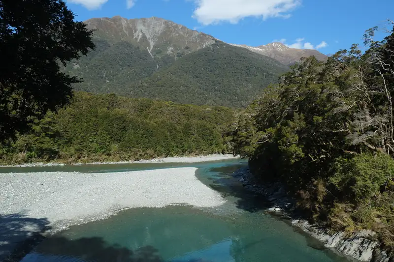 | Blue Pools at the confluence of the Blue River and Makarora River, on the Haast Pass highway | Pseudopanax | Public domain | Wikimedia Commons |
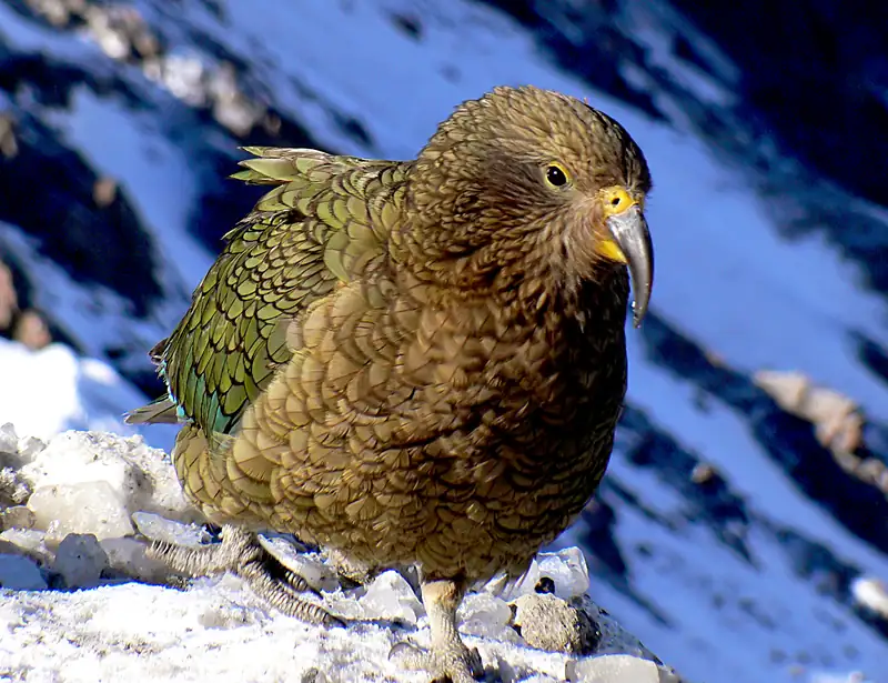 | A kea (Nestor notabilis), the alpine parrot, on snowy rock | Bernard Spragg | CC0 | Wikimedia Commons |
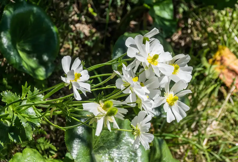 | Mount Cook lily (Ranunculus lyallii) flowering in Aoraki/Mount Cook National Park | Krzysztof Golik | CC BY-SA 4.0 | Wikimedia Commons |
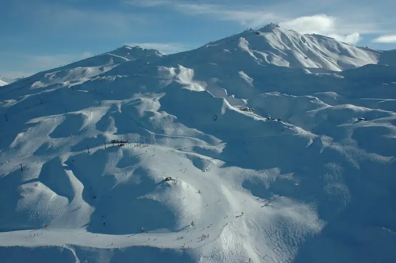 | Coronet Peak ski field near Queenstown in winter (July 2011) | Kiwi Discovery Queenstown | CC BY 2.0 | Wikimedia Commons |
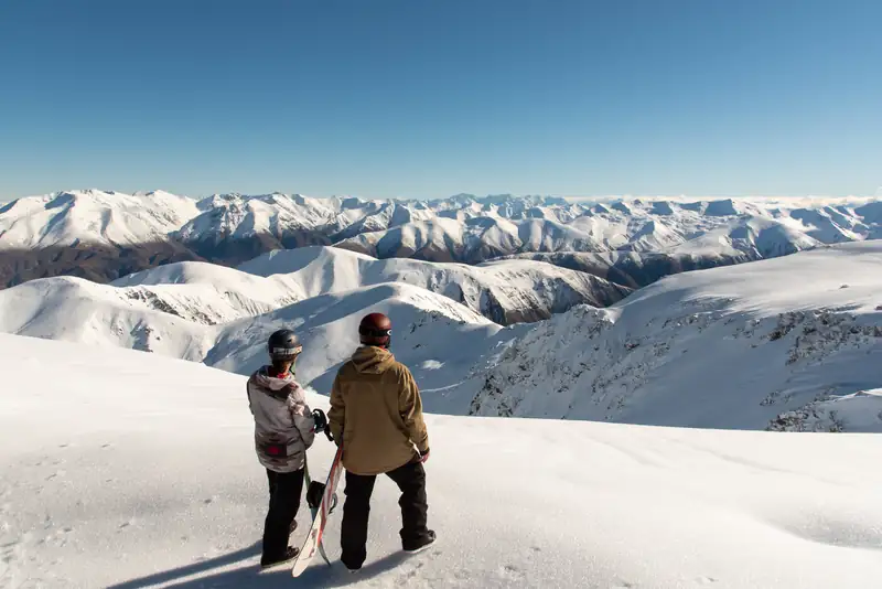 | Two snowboarders on Mt Hutt looking out over the Black Hill Range | Bare Kiwi & Experience Mid Canterbury | CC BY 4.0 | Wikimedia Commons |
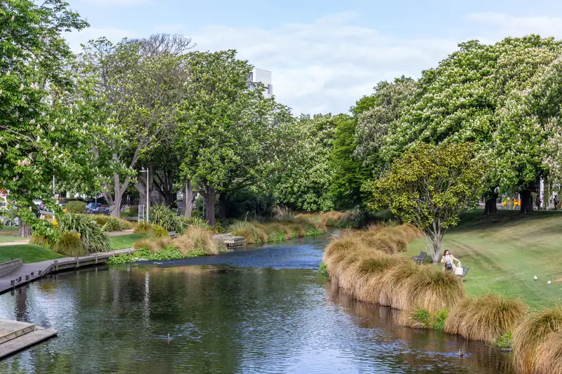 | The Avon River in central Christchurch | Michal Klajban | CC BY-SA 4.0 | Wikimedia Commons |


