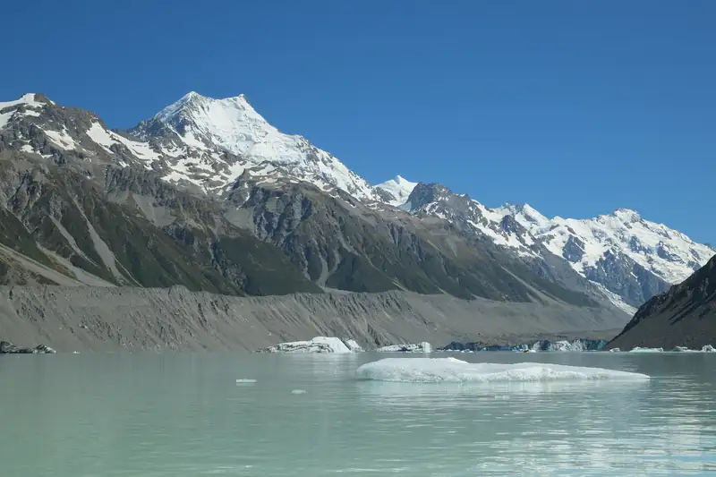
The Rob Roy Glacier Track is a 10 km return walk in Mount Aspiring National Park, 3 to 4 hours, from Raspberry Flat car park 54 km west of Wānaka to lookouts below the Rob Roy Glacier. The last 30 km of road is gravel with fords. From May to November, DOC advises stopping at the lower lookout.
The Rob Roy Glacier Track is a 10 km return walk in Mount Aspiring National Park that takes 3 to 4 hours, from Raspberry Flat car park to lookouts below the Rob Roy Glacier. The car park is 54 km west of Wānaka, about 1 hour 20 minutes by road, and the last 30 km are gravel with creek fords. From May to November DOC strongly recommends turning back at the lower lookout because of avalanche paths above it.
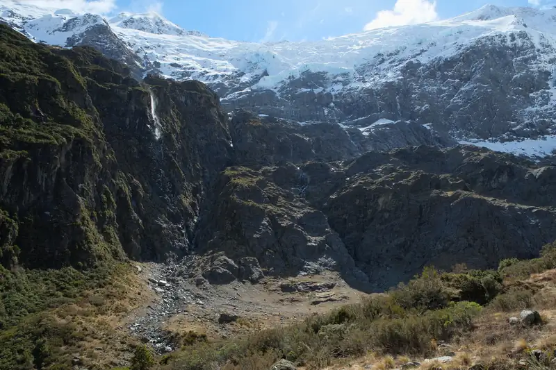
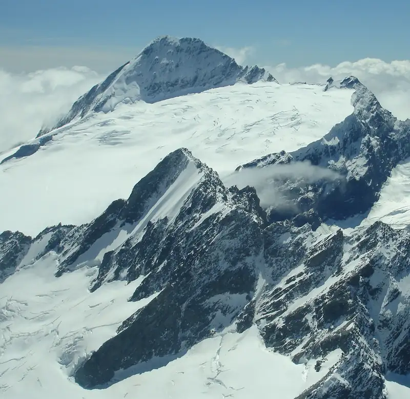
DOC calls it an easy route into an alpine landscape of snowfields, glaciers, sheer rock cliffs and waterfalls, and says older children should manage it. The harder parts are the drive in and the avalanche season.
Rob Roy Glacier Track details
Checked November 2026:
|
Detail |
| Distance |
10 km return |
| Time |
3 to 4 hours return |
| Grade |
Easy to intermediate walking track (DOC) |
| Elevation gain |
DOC gives none; hikers’ GPS records put it at about 400 m |
| Start |
Raspberry Flat car park (DOC also calls it Raspberry Creek car park) |
| Bridges |
Swing bridge over the West Matukituki River about 15 min in; number limits on the swing bridges |
| End |
Upper lookout; DOC advises going no further |
| Avalanche season |
May to November: stop at the lower lookout |
| DOC alert, 12 November 2026 |
None |
The route
About 15 minutes from the car park you cross a swing bridge over the West Matukituki River. There is a limit on how many people can be on the swing bridges at once, so wait at the end if it is full. The track then climbs through a small gorge into beech forest, comes out into alpine plants at the head of the valley, and reaches the lower lookout, then the upper lookout, with the glacier above.
Sections have steep drop-offs. DOC says the ground beyond the upper lookout is dangerous, with drop-offs, canyons, unstable ground and fast water, and advises against going further.
The first part crosses private farmland. Stay on the marked track, leave gates as you find them and keep clear of stock. Kea are often seen and heard in the valley; do not feed them.
Avalanche season: May to November
This is the main safety point on the track. DOC says the track crosses active avalanche paths between the lower and upper lookouts. Avalanches are most common from May to November, and the valley can funnel them down from snowy slopes high above, so one can reach the track even when you see no snow from it.
DOC strongly recommends ending your walk at the lower lookout from May to November. Its Matukituki brochure rates the terrain “simple” up to the lower lookout and “complex” beyond it. Go further in those months only if you have checked conditions with the DOC visitor centre in Wānaka, can recognise avalanche terrain, and carry a transceiver, shovel and probe and know how to use them.
In winter and early spring, shaded sections also get icy. Wear shoes with good grip and consider trekking poles.
Getting there: the road and the fords
The track starts at the Raspberry Flat (Raspberry Creek) car park, 54 km west of Wānaka on Wānaka-Mount Aspiring Road. DOC times the drive at about 1 hour 20 minutes. The last 30 km are gravel.
In the last 10 km you drive through several creeks. DOC’s advice:
- After 24 hours of little or no rain, the fords are usually passable for 2WD vehicles, including campervans.
- In heavy rain they rise and can become impassable to 2WD and sometimes 4WD vehicles.
- Drive through slowly. If in doubt, get out and check the depth first.
- If needed, park before the last two fords, safely off the road and clear of farm gates, and walk the last few hundred metres.
- After very heavy rain the road can wash out and close for repairs. DOC posts road updates on its Wānaka and Queenstown Facebook page.
If you would rather not drive the gravel and the fords yourself, a small-group guided day on the track includes the drive up the Matukituki Valley and lunch facing the glacier.
We found no parking fee or walk fee here when checked in November 2026. Check the forecast before you go: alpine weather can arrive at any time of year in this valley, according to DOC.
A short history
The track was closed from 2019 to 2021 after a slip, and DOC finished an upgrade of the bridge in October 2024.
Nearby
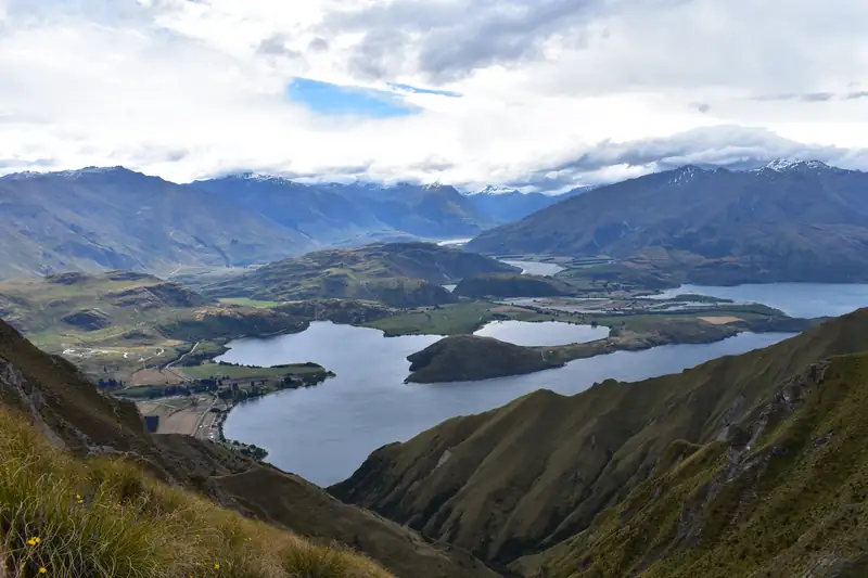
The track is one of several in the Matukituki Valley; see the Mount Aspiring National Park guide for the rest of the park. Closer to town, Roys Peak is 6 km from Wānaka. For where to stay and other things to do, see things to do in Wānaka, and for how this glacier fits with the bigger ones further north, the New Zealand glaciers guide.