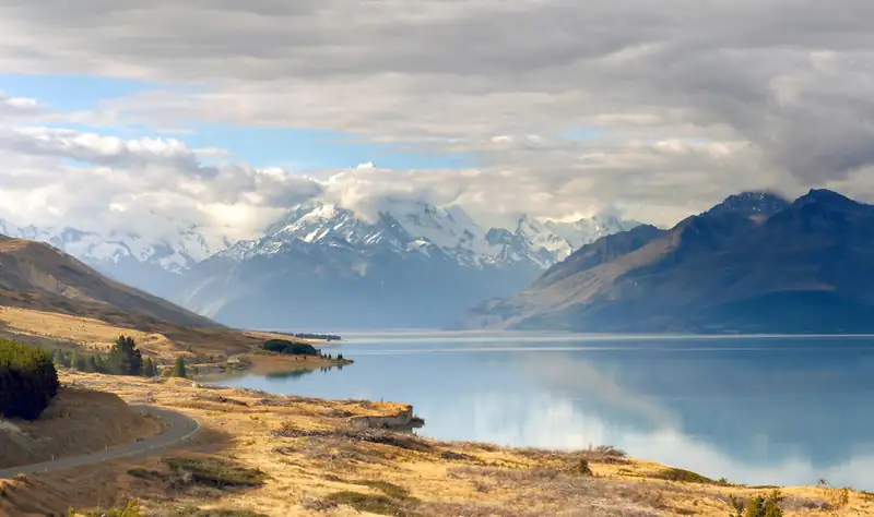
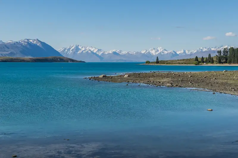
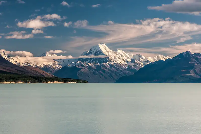
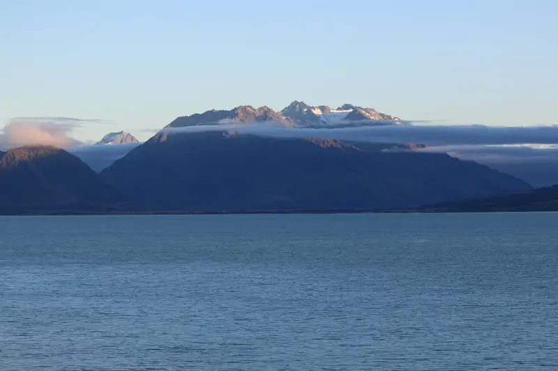
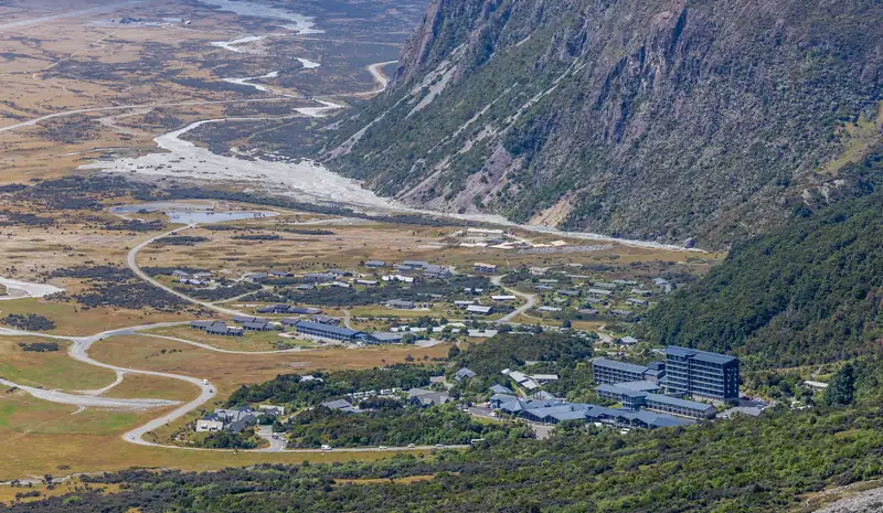
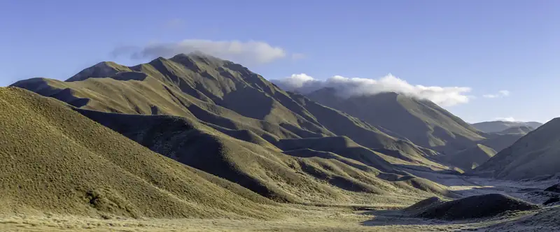
Lake Pukaki is the largest lake in the Mackenzie Basin, a turquoise glacial lake with Aoraki/Mount Cook at its head. The two classic views are from the southern end on SH8 and from Peters Lookout on SH80, the road to Mount Cook Village. Short walks range from the 10-minute Pūkaki Boulders to a 13 km lakeside track.
Lake Pukaki is the lake on the postcards of Aoraki / Mount Cook: a long sheet of turquoise water with the highest mountain in New Zealand at the far end. It is the largest lake in the Mackenzie Basin, and State Highway 8 crosses its southern end between Lake Tekapo and Twizel. From there, State Highway 80 runs along the lake to Aoraki/Mount Cook Village.
There is no village on the shore. People come for the view, and the best ones are from two car parks: the southern end of the lake on SH8, and Peters Lookout on SH80.
Lake Pukaki viewpoints
| Viewpoint |
Road |
What you get |
Facilities |
| Southern end of the lake |
SH8 |
View up the full length of the lake to Aoraki |
Car park, public toilets; information centre nearby |
| Peters Lookout (Tapataia Mahaka) |
SH80 |
Straight up the lake to Aoraki; path down to the shore |
Car park, toilets, cultural signs |
| Along SH80 |
SH80 |
Aoraki ahead for much of the drive on a clear day |
Pull-over areas only |
Checked November 2026 against the regional tourism board and the lookout designers’ project notes. Stop only in marked areas, never on the road edge.
Peters Lookout
Peters Lookout is one of the most popular stops on the Mount Cook road. It looks straight up Lake Pukaki to Aoraki. The site was rebuilt after Land Information New Zealand cleared wilding pines from the western shore. With Ngāi Tahu, local rūnanga, NZTA, the council and DOC involved, it got a formal and larger car park, new toilets, a re-routed path down to the lake, planting and new signs. Consent came in 2018 and most of the work was finished by the end of 2020.
Its Māori name, Tapataia Mahaka, was gifted to the site. It recalls a mahinga kai (food-gathering) settlement on the edge of the lake, and the signs tell the stories of the area. Take a few minutes to read them while you wait for the cloud to lift off the summit.
Why the lake is turquoise
The colour comes from glacial flour, rock ground so fine by the glaciers that it stays suspended in the water. Lake Pukaki is fed at its northern end by the braided Tasman River, which begins at the Tasman Glacier and the Hooker Glacier. When the sun is on the lake, light bounces off those particles and the water turns a vivid blue.
Pukaki is also a hydro storage lake, part of the power scheme that runs through the Mackenzie Basin.
Walks at Lake Pukaki
| Walk |
Time and distance |
Start |
What it is |
| Pūkaki Boulders |
About 10 min |
SH80, a short way from SH8 |
Short climb to glacial boulders left by the Tasman Glacier over 10,000 years ago |
| Pūkaki Kettlehole Track |
About 1 h, 4 km loop |
Off the south side of SH8, just east of the Pukaki River spillway |
Shingle tracks and tussock to a kettle hole in the old moraine |
| Lake Pūkaki Track |
About 4 h, 13 km return |
Lake side of SH8, near the kettlehole start |
A section of Te Araroa along the southern shore |
| Alps 2 Ocean Cycle Trail |
Varies |
Runs past the lake |
Ride a section; see Lake Ohau |
Checked November 2026 with the Mackenzie regional tourism board.
At the Pūkaki Boulders you will see Tibetan prayer flags. They are a memorial to several climbing guides, looked after by the local climbing community. Please leave them alone.
None of these walks has shade. Carry water and sunscreen even on a cool day, because the sun in the Mackenzie Basin is strong.
Campervan and freedom camping rules
People often ask where to park a campervan overnight at Lake Pukaki. The answer depends on your vehicle, and the rules are changing.
- The bylaw: the Mackenzie District Council’s Responsible Freedom Camping Bylaw 2023, in force since 16 December 2023, allows tents and certified self-contained vehicles anywhere unless an area is restricted. The limit is three nights in any one location within 30 days. Vehicles that are not self-contained can only camp where other laws allow.
- It is under review: the council says the bylaw is being reviewed. Check the council’s freedom camping page before you rely on a spot.
- Self-containment: MBIE says the transition period for the national self-containment certificate ran to 7 June 2026, so only vehicles with the new certificate now count as self-contained. Confirm on the MBIE freedom camping page.
- DOC car parks: overnight stays are not allowed in DOC’s paid car parks, such as White Horse Hill.
- Dump stations: Fairlie, Lake Tekapo and Twizel.
For a paid site with power, Glentanner Park Centre at the head of the lake, about 15 minutes’ drive south of Aoraki/Mount Cook Village, has 60 powered sites. See Mount Cook accommodation for the full list.
Getting there
Lake Pukaki is on the main road between Christchurch and Queenstown via the Mackenzie Basin. From the south end of the lake, the turn onto SH80 leads to Aoraki/Mount Cook Village; DOC gives the village as a 4.5-hour drive from Christchurch and 3.5 hours from Queenstown. Without a car, small-group day tours from Queenstown stop at Lake Pukaki for the view and then give you about three hours on the Hooker Valley Track. The route pages cover the stops: Christchurch to Mount Cook and Queenstown to Mount Cook.
Twizel, the nearest town with a supermarket and fuel, is about 45 minutes’ drive from the village. Lake Tekapo is the next lake east, and Aoraki / Mount Cook is at the end of the road.